Conococheague Bridge
(New Wilson’s Bridge)
NBI Information
Location
State: Maryland
County: Washington County
Feature Carried: US-40 (National Pike)
Feature Crossed: Conococheague Creek
Latitude, Longitude: 39.6572,-77.8489
Toll: On free road
Maintenance Responsibility: State Highway Agency
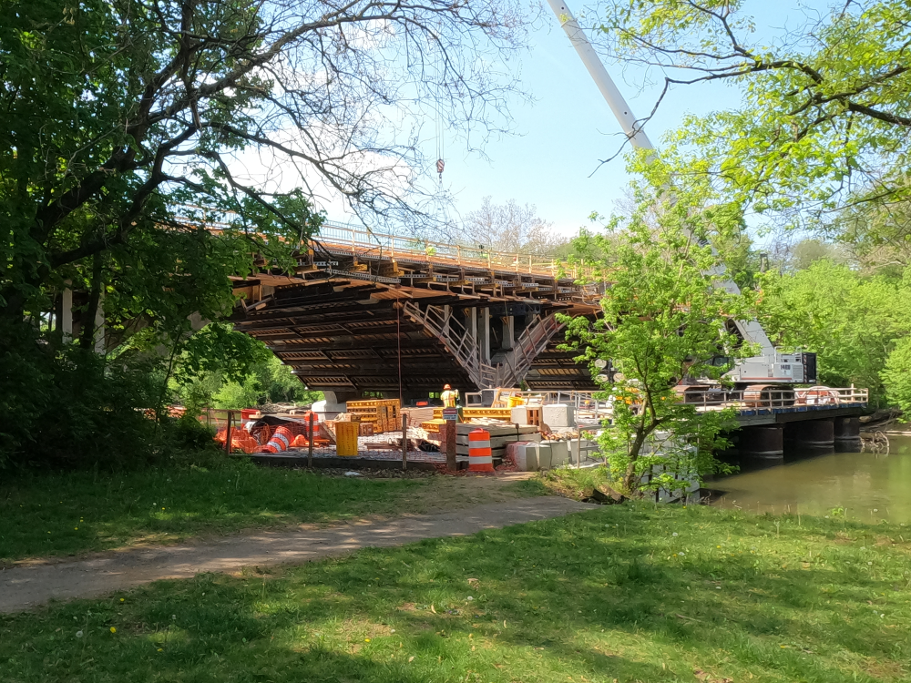
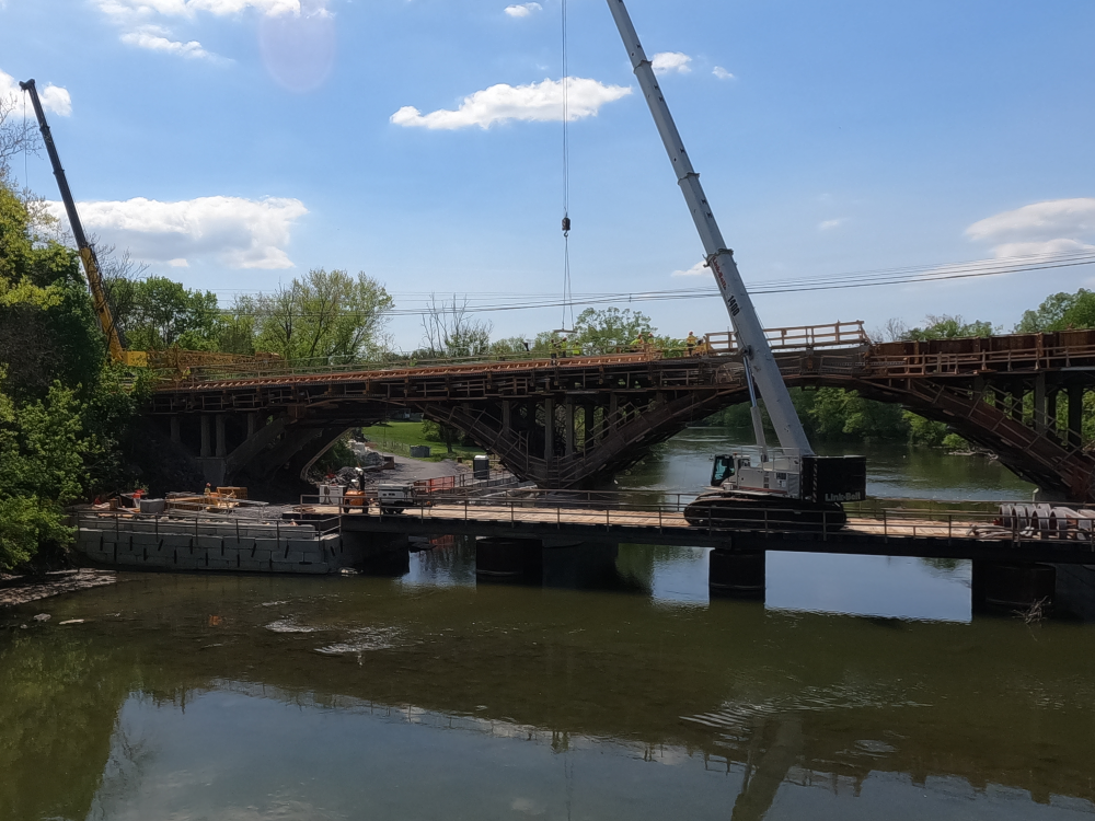
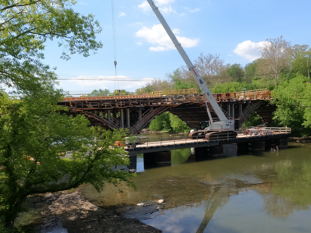
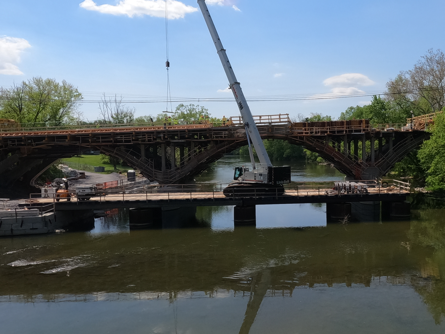
Structure Open, Posted, or Closed to Traffic: Closed to all traffic; Bridge is under construction.
History
Year Built: 1936
Historical Significance: Bridge is possibly eligible for the National Register of Historic Places (requires further investigation before determination can be made) or bridge is on a State or local historic register.
Year Reconstructed: 2026 (In Progress)
Picture Date: April 23, 2026
Geometry
Lanes on Structure: 2
Lanes under Structure: 0
Skew: 0 degrees
Number of Main Spans: 3
Main Structure Type: Arch - Deck
Main Structure Material: Concrete
Number of Approach Spans: 0
Approach Structure Type: None
Approach Structure Material: None
Condition
Inspection Date: April 2024
Deck Condition: Fair
Superstructure Condition: Satisfactory
Substructure Condition: Fair
Channel Condition: Good
Culvert: Not Applicable
NBI Year: 2025
Bridge Information
The Conococheague Bridge, also called the New Wilson’s Bridge, was built in 1936 to bypass the old Wilson’s Bridge. It is a three-span, reinforced concrete, open-spandrel deck arch bridge.
The bridge was closed in June of 2025 for a rehabilitation project. This project aims to reconstruct the key elements in-kind, including the open-spandrel columns and arches. The project will also replace the parapet and deck and rehabilitate the substructure. The bridge is expected to reopen in August of 2026, with additional construction work continuing until June 2027.
References
“State Highway Administration to Detour Section of US 40 (National Pike) for the Conococheague Bridge Project in Washington County.” Maryland.Gov, 26 June 2025, https://roads.maryland.gov/mdotsha/pages/pressreleasedetails.aspx?PageId=818&newsId=5390. Accessed 28 July 2026.
“US 40 (National Pike) Bridge over Conococheague Creek.” Arcgis.Com, July 2026, https://mdot-sha-us40-brg-over-conococheague-crk-wa8815180-maryland.hub.arcgis.com/. Accessed 28 July 2026.