Daniel Carter Beard Bridge
NBI Information
Location
State: Kentucky and Ohio
County: Campbell County and Hamilton County
Feature Carried: I-471 SB and I-471 NB
Feature Crossed: Ohio River
Latitude, Longitude: 39.1000,-84.4942 (SB) 39.1003,-84.4939 (NB)
Toll: On free road
Maintenance Responsibility: State Highway Agency
Structure Open, Posted, or Closed to Traffic: Open, no restriction
History
Year Built: 1976
Historical Significance: Bridge is not eligible for the National Register of Historic Places.
Year Reconstructed: None
Picture Date: April 24, 2026
Geometry
Lanes on Structure: 4 (Each Structure)
Lanes under Structure: 1
Skew: 0 degrees
Number of Main Spans: 1
Main Structure Type: Arch - Thru
Main Structure Material: Steel
Number of Approach Spans: 2
Approach Structure Type: Stringer/Multi-beam or Girder
Approach Structure Material: Steel Continuous
Condition
Inspection Date: September 2024
Deck Condition: Satisfactory
Superstructure Condition: Fair
Substructure Condition: Satisfactory
Channel Condition: Very Good
Culvert: Not Applicable
NBI Year: 2025
The NBI lists this as two separate structures, a Southbound Structure and a Northbound Structure.
Bridge Information
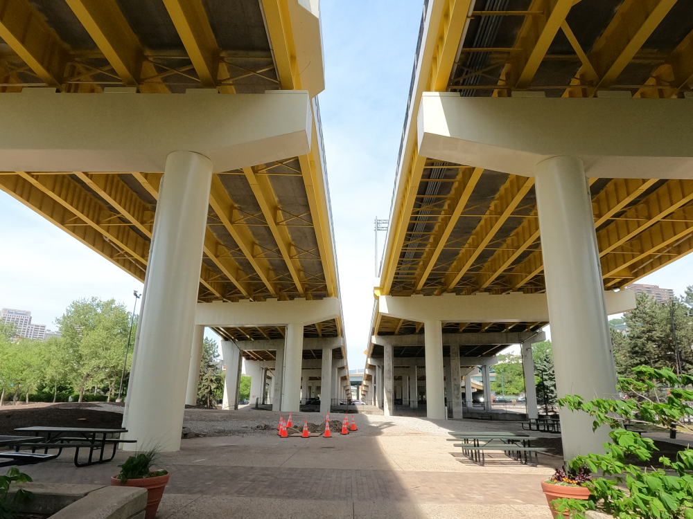
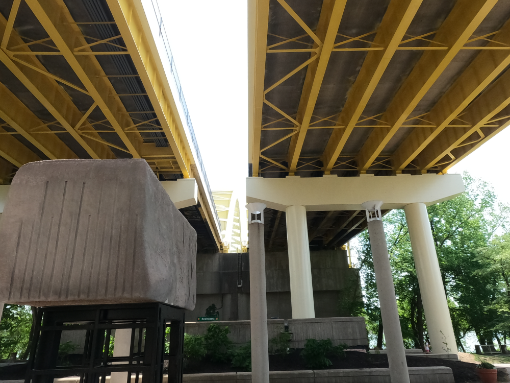
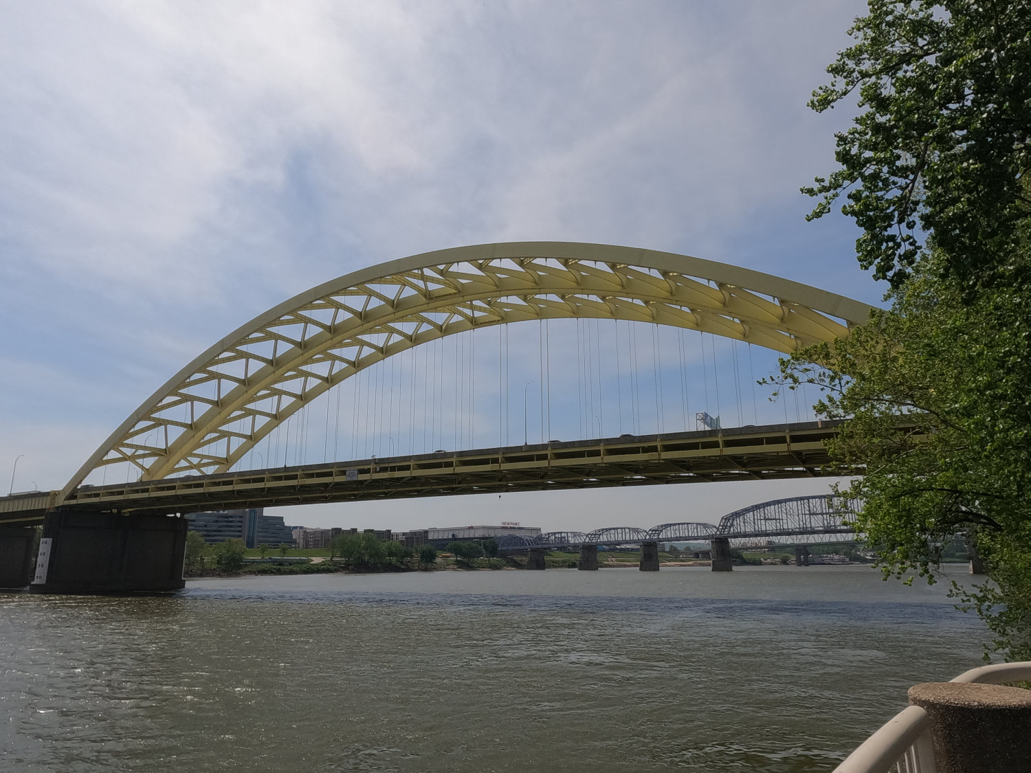
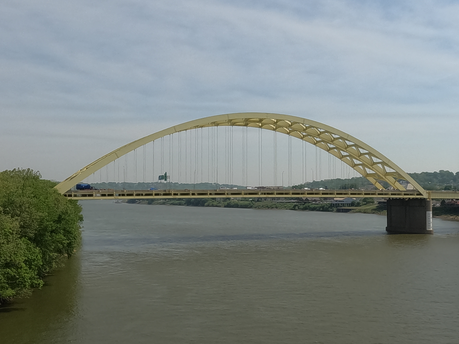
The Daniel Carter Beard Bridge is a twin-span steel arch bridge crossing the Ohio River. It is frequently called the “Big Mac Bridge”, because the yellow arches remind the locals of the McDonalds’s Logo. The bridge is officially named after Daniel Carter Beard, who was the founder of the Boy Scouts of America and was born and raised nearby.
The bridge opened in 1976, with the southbound side opening in January, and the Northbound side opening in October. It was originally configured to carry three lanes in each direction, but in December 2000, the shoulder was converted to a fourth travel lane.
During the construction of the ramps (in 1973 and 1974), landslides were triggered causing property damage and the collapse of six buildings. It was proposed that earth be added at the base of the hillside to stabilize it, but this was rejected by the state, since this would require relocating highway ramps. Instead, the state opted to demolish the properties in the lower Mt. Adams neighborhood and build a conventional retaining wall. This led to controversy, as there was still a possibility of additional landslides. In 1980, this proved accurate, and additional land movement led to the demolition of 13 of the 27 buildings which were meant to be preserved.
On November 1, 2024, a fire erupted beneath the bridge. The fire spread rapidly, and ignited parts of the bridge’s underside, including netting and wiring. The intense heat compromised the structural elements, and the bridge was closed. The damage to the Northbound side was minor, and the bridge was reopened that night. However, the damage to the Southbound side was significant, and the bridge remained closed until February 9, 2025. During this time, seven steel girders were replaced, and the damaged deck was rebuilt. The fire was later ruled an act of arson, although the arsonist did not intend to damage the bridge.
References
Cahal, Sherman. “Daniel Carter Beard Bridge.” Bridges and Tunnels, 22 Feb. 2021, https://bridgestunnels.com/location/daniel-carter-beard-bridge/. Accessed 28 July 2026.
“I-471 Daniel Carter Beard Bridge.” Cincinnati Transit.Net, https://cincinnati-transit.net/bigmac.html. Accessed 28 July 2026.