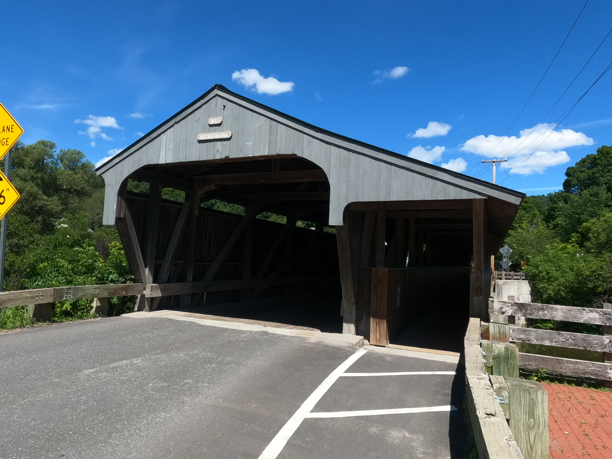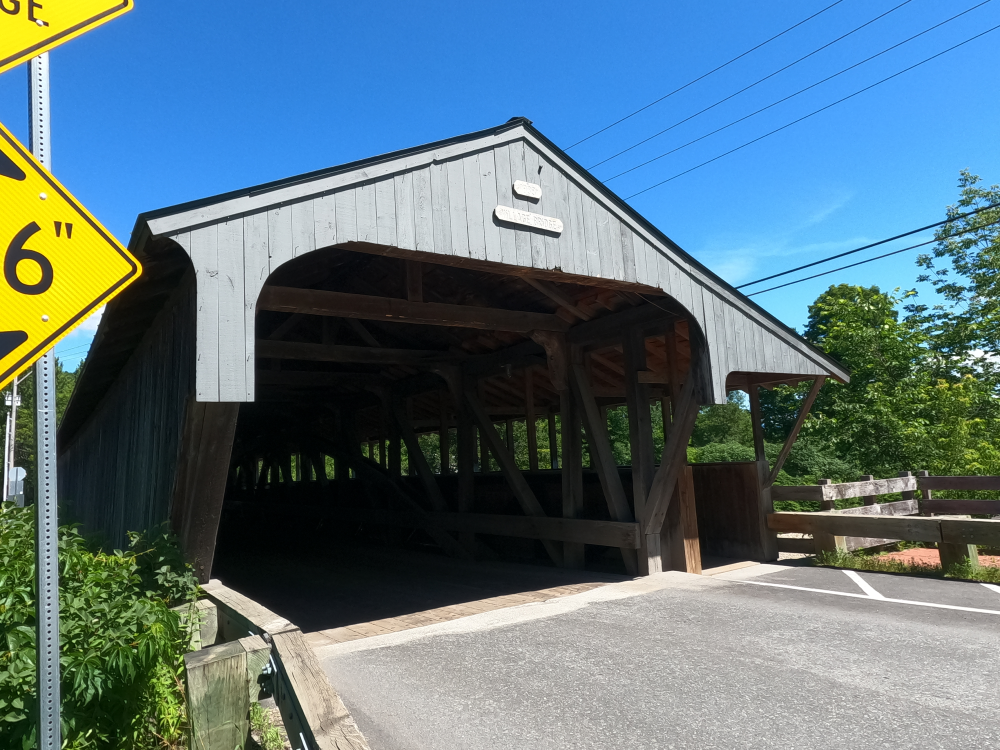
Waitsfield Covered Bridge
(Great Eddy Covered Bridge, Big Eddy Covered Bridge)
NBI Information
Location
State: Vermont
County: Washington County
Feature Carried: Bridge Street (C2001)
Feature Crossed: Mad River
Latitude, Longitude: 44.1894,-72.8235
Toll: On free road
Maintenance Responsibility: Town or Township Highway Agency
Structure Open, Posted, or Closed to Traffic: Posted for load (may include other restrictions such as temporary bridges which are load posted)
History
Year Built: 1833
Historical Significance: Bridge is on the National Register of Historic Places.
Year Reconstructed: 1973
Picture Date: July 12, 2026
Geometry
Lanes on Structure: 1
Lanes under Structure: 0
Skew: 0 degrees
Number of Main Spans: 1
Main Structure Type: Arch - Thru
Main Structure Material: Wood or Timber
Number of Approach Spans: None
Approach Structure Type: None
Approach Structure Material: None
Condition
Inspection Date: July 2024
Deck Condition: Good
Superstructure Condition: Satisfactory
Substructure Condition: Satisfactory
Channel Condition: Very Good
Culvert: Not Applicable
NBI Year: 2025
Bridge Information
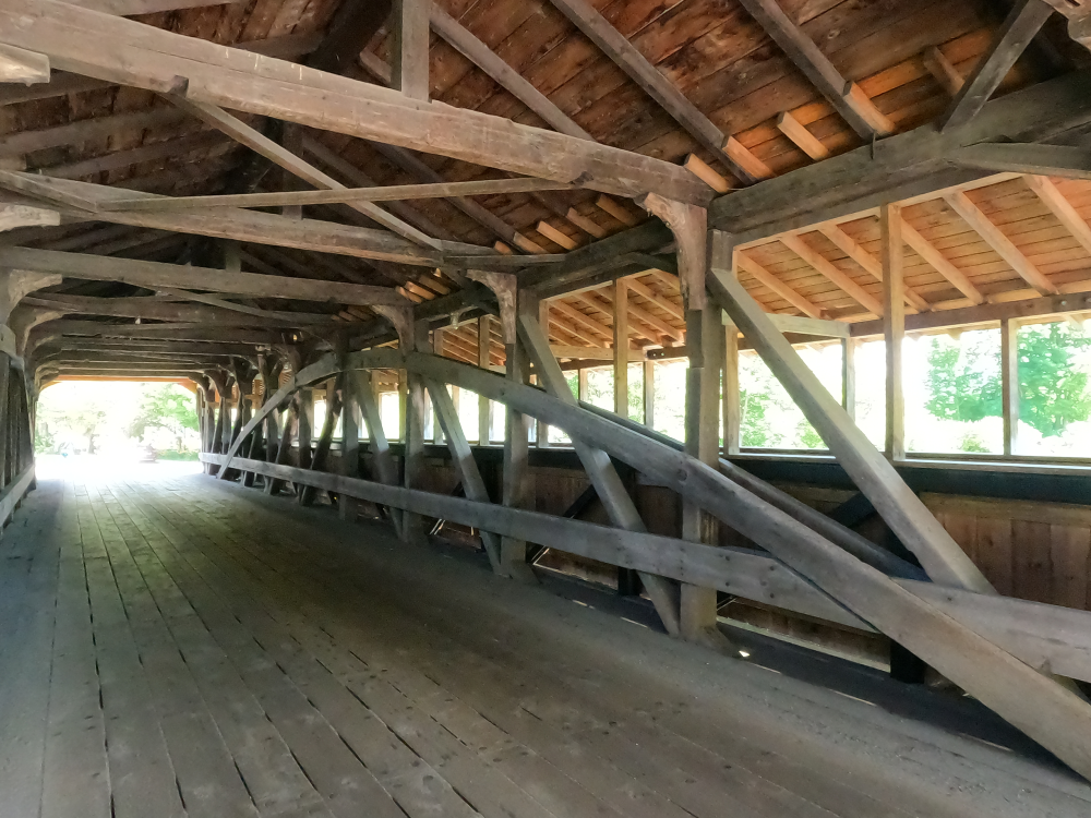
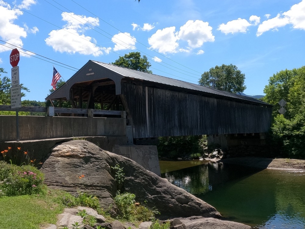
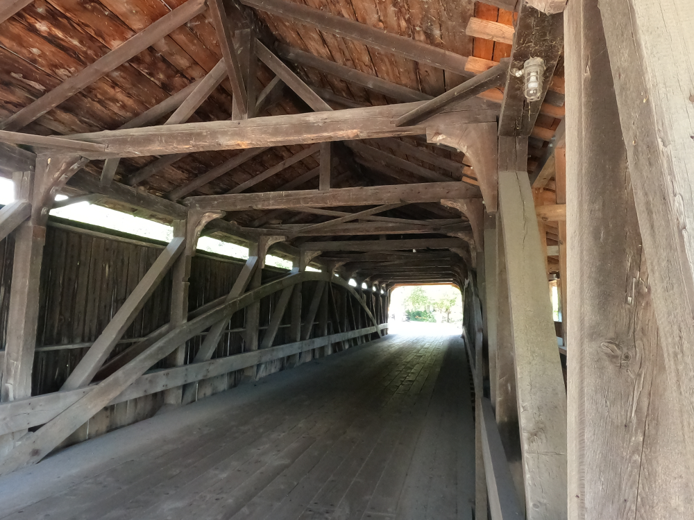
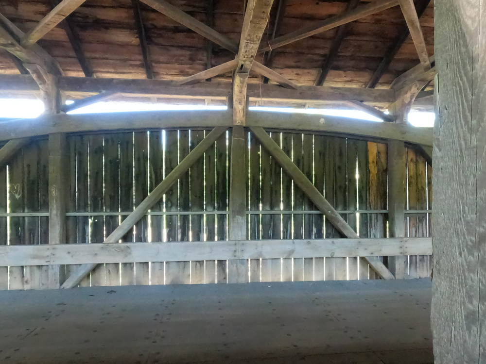
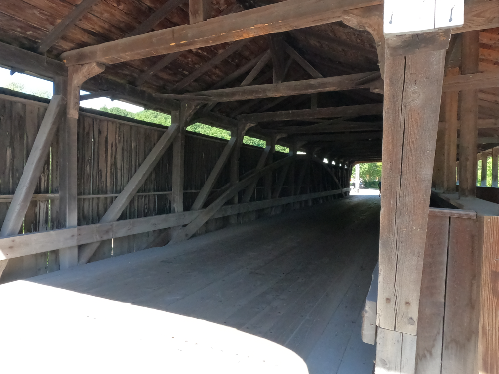
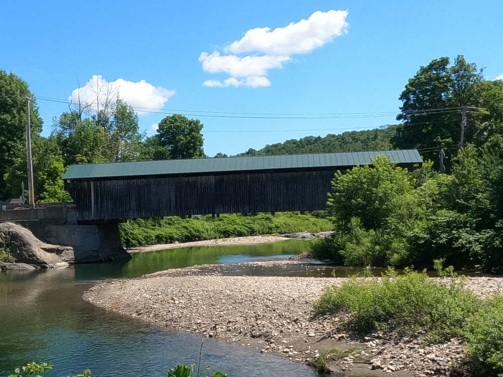
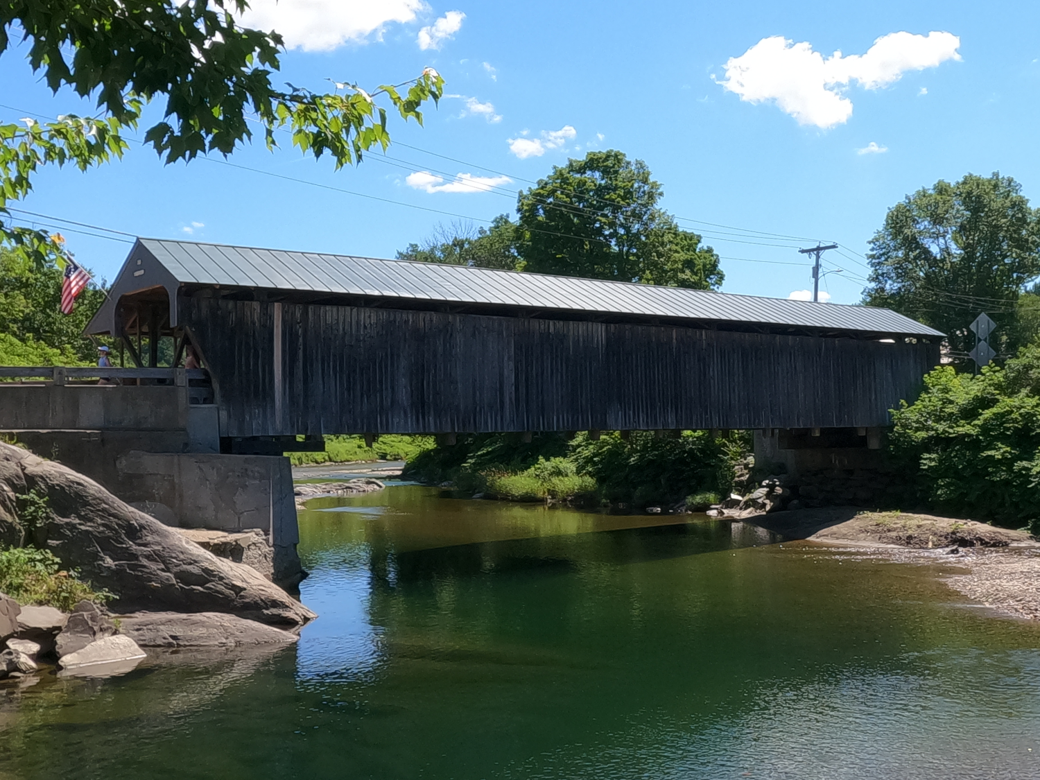
The Waitsfield Covered Bridge, also called the Great Eddy Covered Bridge and the Big Eddy Covered Bridge, was built in 1833, and is one of Vermont’s oldest covered bridges. It is also the longest single-span Burr arch truss bridge in the state.
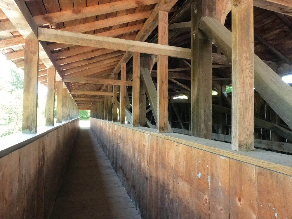
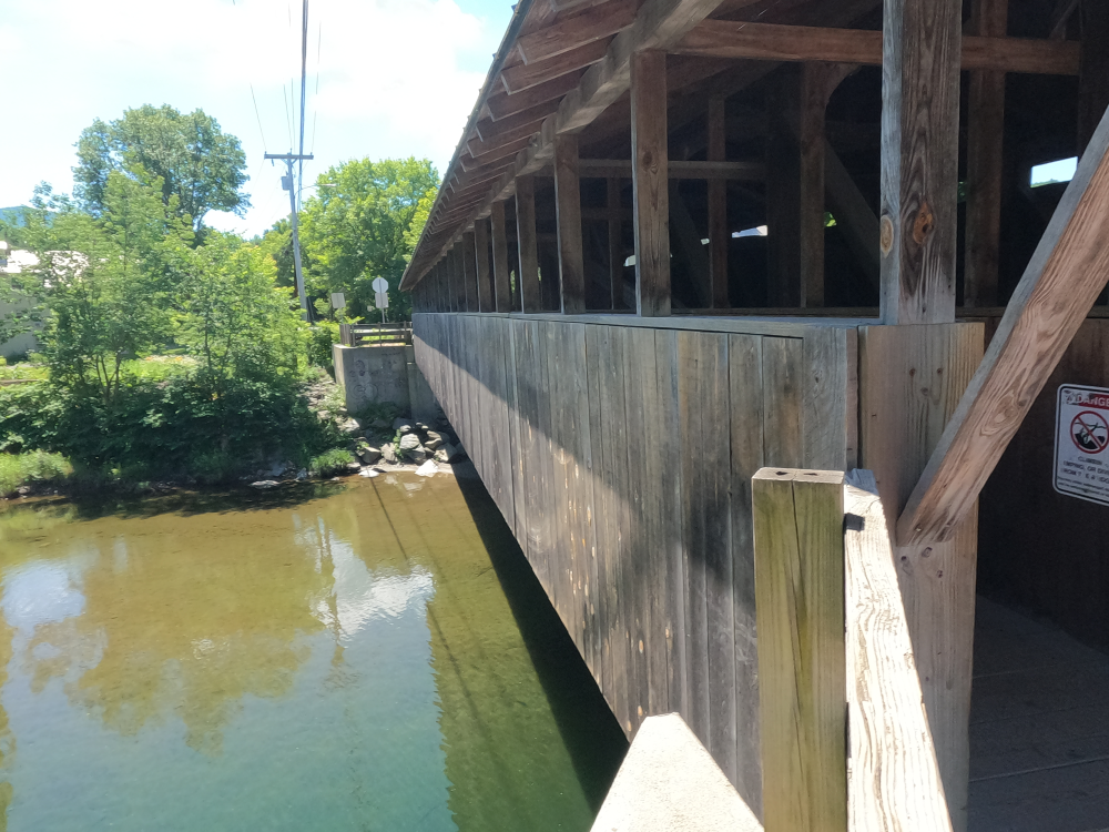
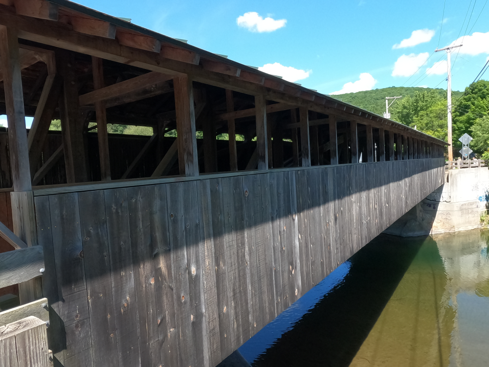
The bridge has a covered walkway on the outside of the east truss, giving it an unsymmetric appearance. This walkway was not original and was added in 1940. Wooden stringers were also added at some point to strengthen the bridge. The bridge is covered by a metal roof. The abutments are irregular dry laid stone which have been faced with concrete.
The bridge was rehabilitated in 1973. This included replacing the walkway, deck structure, sheathing, flooring, lateral bracing, and knee bracing. The bridge had additional repairs completed in 1989, 1992 and 2001.
References
Henry, Hugh. “Vermont SP Great Eddy Covered Bridge.” National Archives Catalog, 6 Sept. 1974, https://catalog.archives.gov/id/84285761. Accessed 22 Sept. 2026.
Loomis, Lisa. “Select Board Seeks Plan for Waitsfield Covered Bridge Repairs.” The Valley Reporter, 2 Apr. 2026, https://www.valleyreporter.com/#/schema/com_content/article/21115. Accessed 22 Sept. 2026.