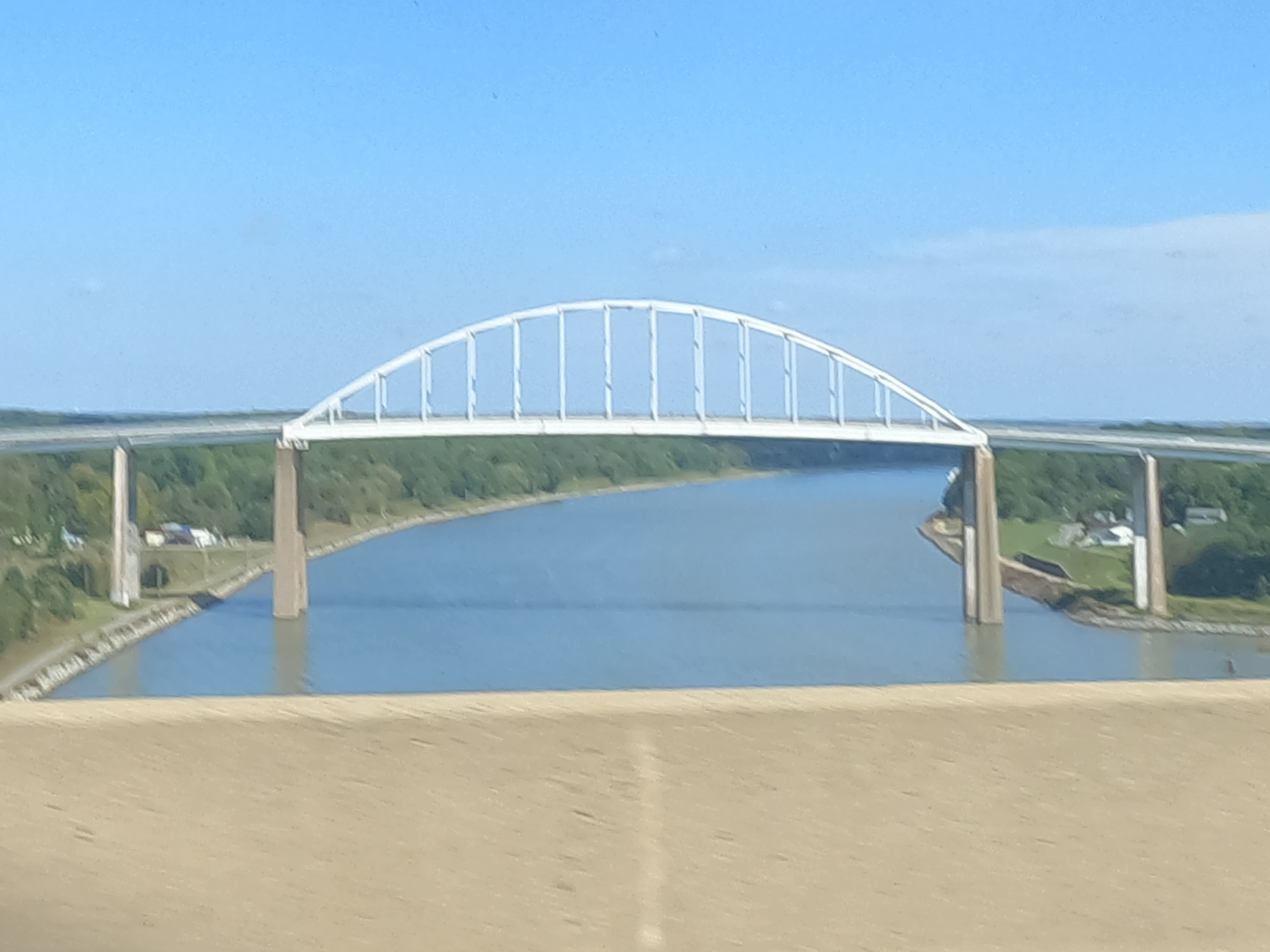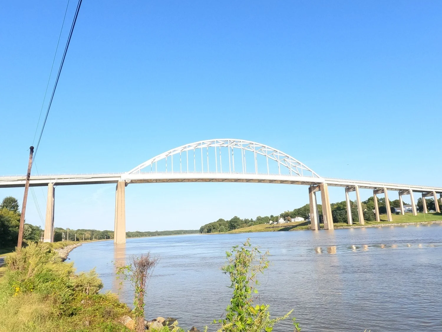
Saint Georges Bridge
NBI Information
Location
State: Delaware
County: New Castle County
Feature Carried: US-13
Feature Crossed: Chesapeake and Delaware Canal
Latitude, Longitude: 39.5522,-75.6508
Toll: On free road
Maintenance Responsibility: Corps of Engineers (Civil)
Structure Open, Posted, or Closed to Traffic: Open, no restriction
History
Year Built: 1941
Historical Significance: Historical significance is not determinable at this time.
Year Reconstructed: 2024
Picture Date: September 16, 2026
Geometry
Lanes on Structure: 2
Lanes under Structure: 0
Skew: 0 degrees
Number of Main Spans: 1
Main Structure Type: Arch - Thru
Main Structure Material: Steel
Number of Approach Spans: 41
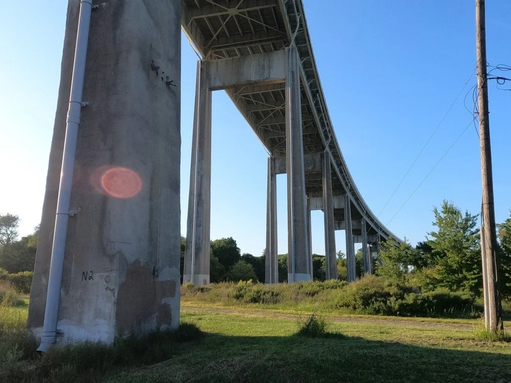
Approach Structure Type: Girder and Floorbeam System
Approach Structure Material: Steel
Condition
Inspection Date: August 2024
Deck Condition: Very Good
Superstructure Condition: Fair
Substructure Condition: Fair
Channel Condition: Very Good
Culvert: Not Applicable
NBI Year: 2025
Bridge Information
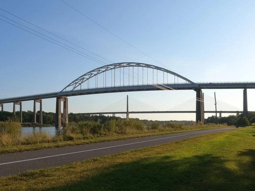
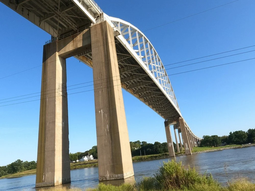
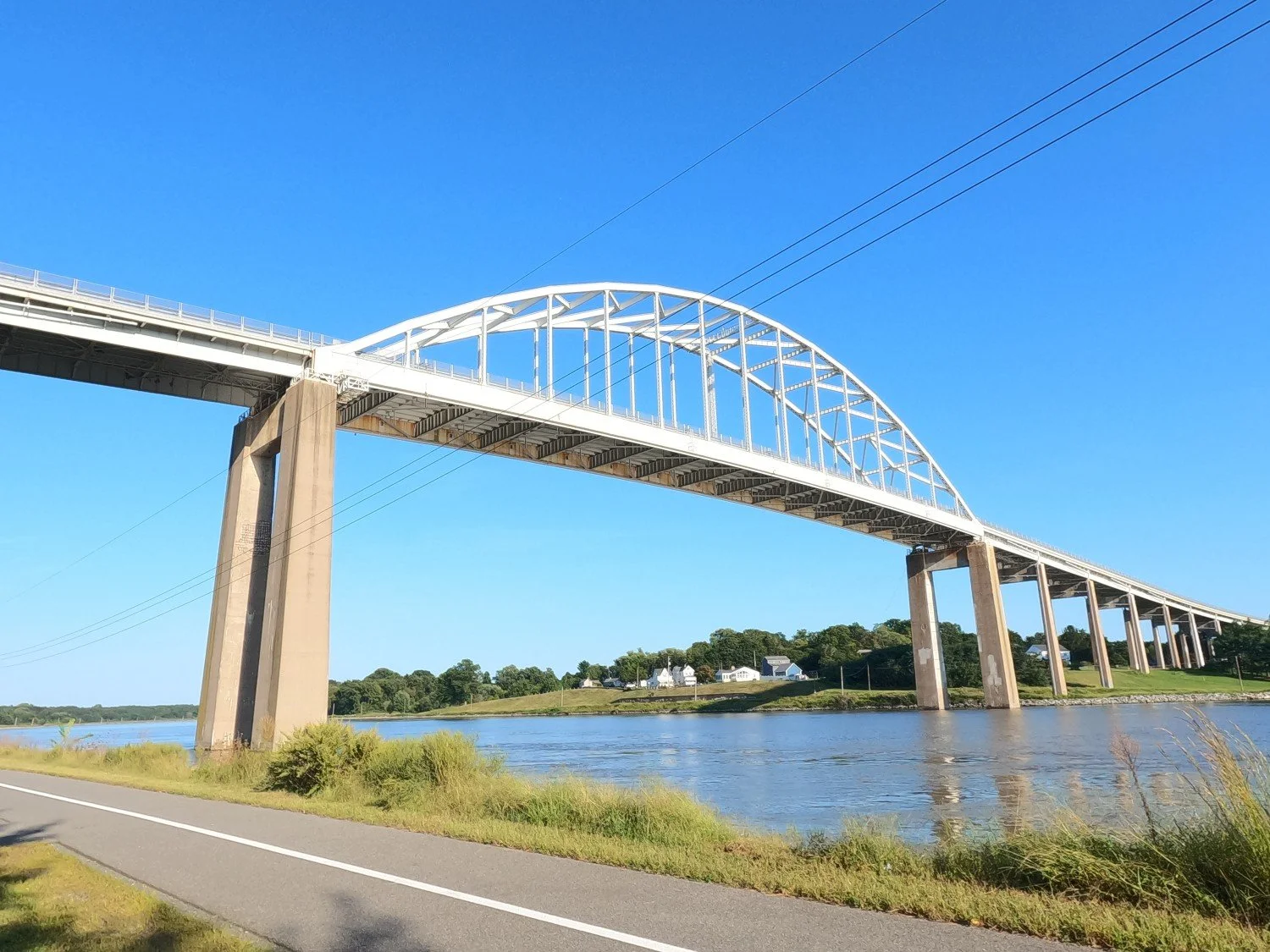
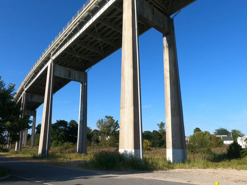
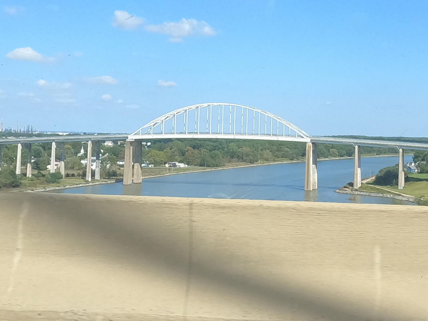
The Saint Georges Bridge was constructed by the U.S. Army Corps of Engineers from 1940 to 1942 and is a steel tied arch bridge. It is one of the five vehicular bridges over the Chesapeake and Delaware Canal and was the first four-lane, high-level bridge across the canal. It was the world’s longest steel tied arch at the time of its completion.
The original bridge at this site was a wooden swing bridge that was built as part of the original canal. As the canal was expanded in the 1920’s a replacement was needed, and a Pratt through truss vertical lift bridge was built from 1924 to 1929. This bridge was hit by vessels several times, and was ultimately destroyed on January 10, 1939, when it was struck by the S.S. Waukegan.
It was decided that a high-level bridge would be built to eliminate the need for a movable bridge and place the piers well outside the shipping channel. The new bridge was dedicated on January 31, 1942, and featured a main span of 540 feet and a vertical clearance of 135 feet for vessels.
This bridge eventually became a bottleneck, especially on the weekends when traffic was heading to the beaches. This was amplified by the deteriorating condition of the bridge. By the 1980’s, the condition of the bridge had deteriorated enough that truck traffic was prohibited and was routed to the nearby Summit Bridge.
A new highway was proposed as a “relief route” to reduce the traffic on US-13 and was ultimately designated DE-1. The William V Roth Jr. Bridge opened in 1995 to bypass the Saint Georges Bridge. Traffic was moved onto the new bridge, and the old bridge was slated for demolition. However, the plan to demolish the bridge gathered significant local and political opposition. The U.S. Army Corps of Engineers was ultimately prevented from demolishing the bridge through Congressional legislation.
The bridge was closed from 1998 to 2001 for a major refurbishment project. This included replacing the deteriorating steel and installing a new concrete deck. Additional structural problems were discovered in 2008. The outside lanes were closed, and a weight limit was placed on the structure. It was once again decided to repair the bridge. The cracked and corroded bearings were repaired or replaced, and the piers were repaired in 2009, and the deck was rehabilitated in 2010. The floorbeams were replaced in 2019.
The bridge was closed again from April 4, 2023, to October 11, 224 for a major rehabilitation project. This project included work on the concrete deck, steel barriers, scupper, drainage pipes, finger joints, and bridge railing.
The idea for a canal across the Delmarva Peninsula began with a survey of possible routes in 1764, and construction started soon after. However, construction was halted in 1806 over a lack of funds. The project was recommenced in 1822 with additional surveys to gain a more complete view of the project, construction resumed in 1824, and the canal opened in 1829. The canal was 14 miles long, with a uniform depth of 10 feet and width of 66 feet. As vessels became larger and deeper, they could no longer pass through the canal and locks, and the traffic in the canal began to decline. This was intensified by the construction of the New Castle & Frenchtown Railroad.
In 1906, President Theodore Roosevelt appointed a commission to study the feasibility of enlarging the canal. The canal was acquired by the federal government, and construction began in the 1920’s. This project removed all the locks, replaced all the bridges over the canal, and enlarged the canal to have a depth of 12 feet and a width of 90 feet. The new canal opened in May of 1927.
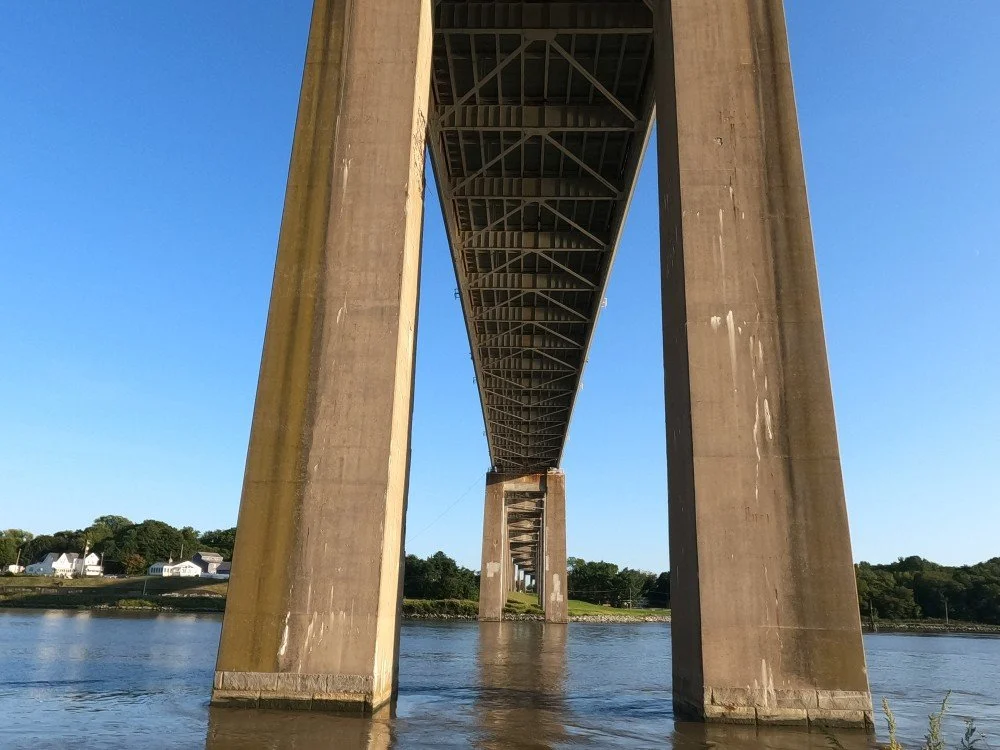
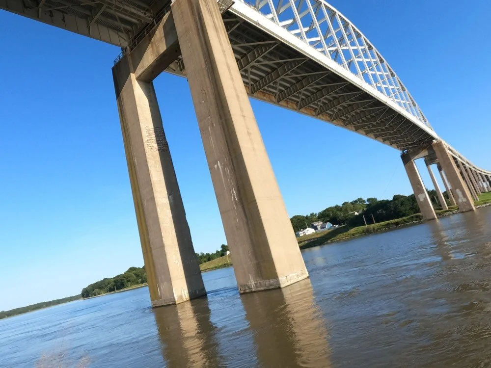
The canal was enlarged again from 1935 to 1938 as the size of the ships continued to increase. The new canal was 27 feet deep and 250 feet wide. The canal traffic soon outpaced the canal's capacity, leading to accidents and one-way traffic restrictions. Eight ships collided with bridges between 1938 and 1950 (including the original bridge at this location), resulting in catastrophic failures and fatalities. The canal was widened for a final time from 1962 to 1968 to 35 feet deep and 450 feet wide. As a result, the main span piers for the Saint Georges Bridge are standing in the canal.
References
Weeks, John A. “Saint Georges Bridge.” John Weeks, http://www.johnweeks.com/c-and-d-canal/pages/saintgeorges.html. Accessed 7 Oct. 2026.
Cahal, Sherman. “St. Georges Bridge.” Bridges and Tunnels, https://bridgestunnels.com/location/st-georges-bridge/. Accessed 7 Oct. 2026.
American Galvanizers Association. “St. George’s Bridge Renovation.” American Galvanizers Association, 5 Dec. 2024, https://galvanizeit.org/project-gallery/st-georges-bridge-renovation. Accessed 7 Oct. 2026.