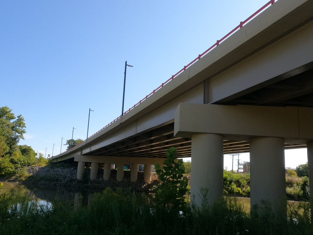
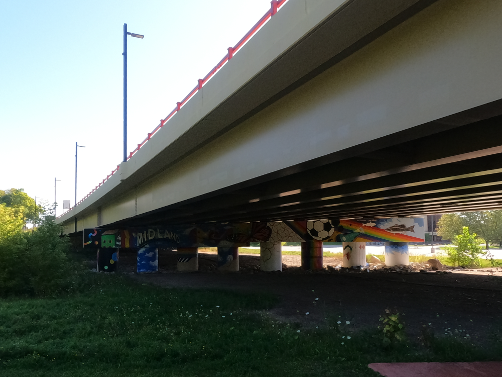
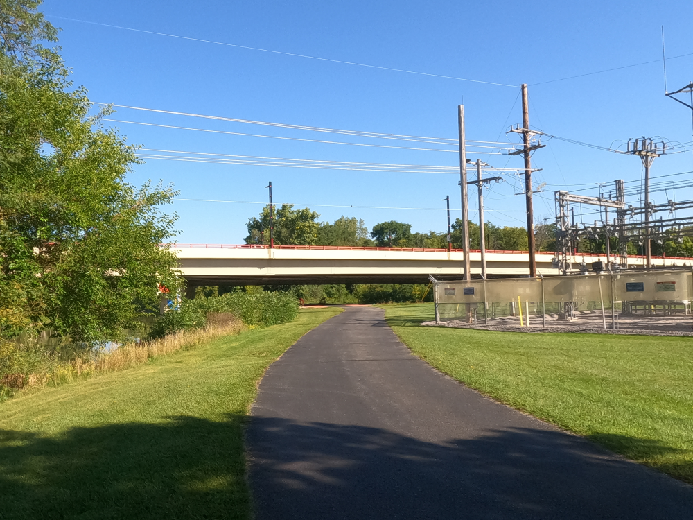
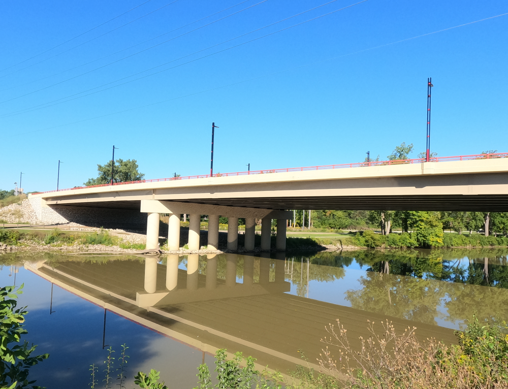
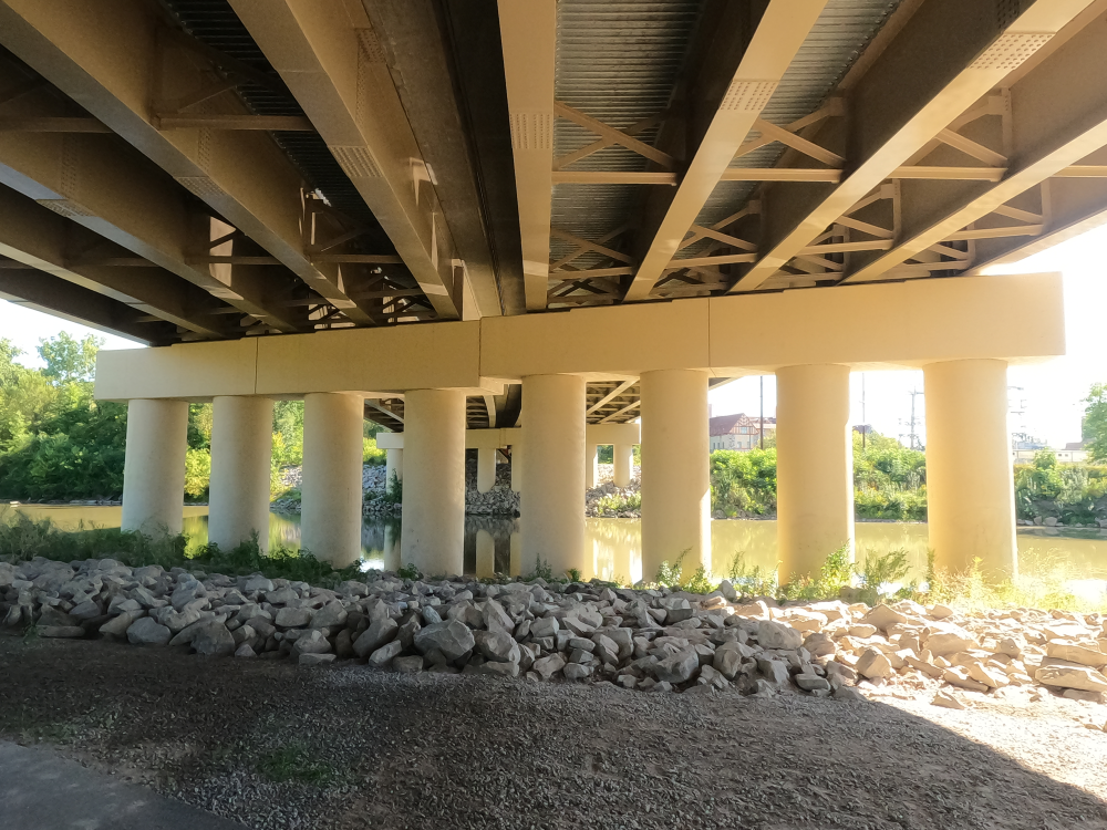
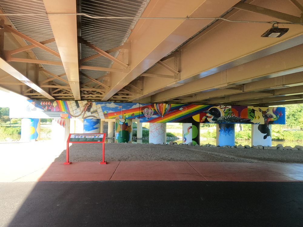
Karl B. Robertson Bridge
NBI Information
Location
State: Michigan
County: Midland County
Feature Carried: M-20 EB and M-20 WB
Feature Crossed: Tittabawassee River
Latitude, Longitude: 43.6137,-84.2500 and 43.6138,-84.2501
Toll: On free road
Maintenance Responsibility: State Highway Agency
Structure Open, Posted, or Closed to Traffic: Open, no restriction
History
Year Built: 2019 and 2018
Historical Significance: Bridge is not eligible for the National Register of Historic Places.
Year Reconstructed: None
Picture Date: August 31, 2025
Geometry
Lanes on Structure: 2 EB and 2 WB
Lanes under Structure: 2
Skew: 24 degrees
Number of Main Spans: 4
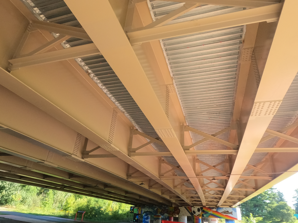
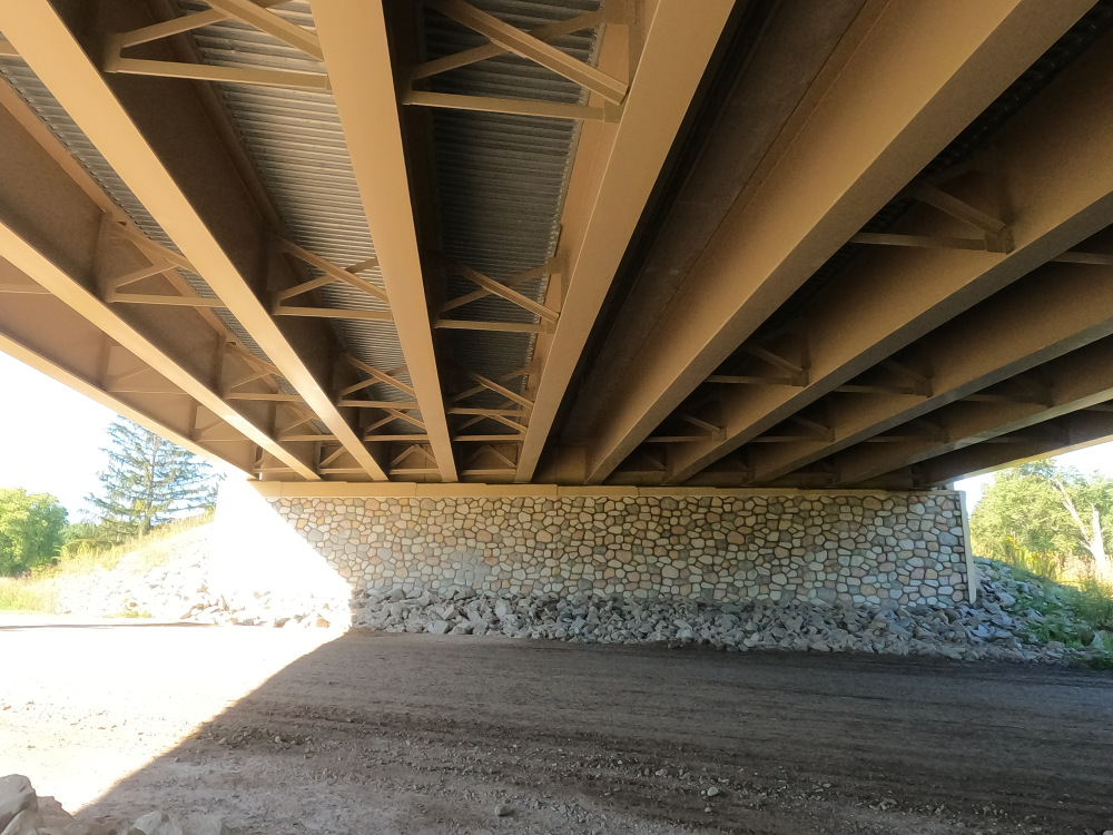
Main Structure Type: Stringer/Multi-beam or Girder
Main Structure Material: Steel Continuous
Number of Approach Spans: None
Approach Structure Type: None
Approach Structure Material: None
Condition
Inspection Date: November 2022
Deck Condition: Good
Superstructure Condition: Excellent
Substructure Condition: Excellent
Channel Condition: Good
Culvert: Not Applicable
NBI Year: 2024
Bridge Information
The original Karl B. Robertson Bridge was built in 1955 to replace the Currie Parkway Bridge, which is about a quarter mile north of the new bridge. This project also diverted the route of the Chippewa River from its oxbow course to a straight line that was further south. This area was prone to flooding, so the goal was to lessen this. In addition, the new bridge was built above the high water so that the roadway would not flood.
By 2012, the bridge was structurally deficient and in critical condition. From 2018 to 2019, it was replaced with two separate structures, one for Eastbound traffic and one for Westbound traffic. This was a full replacement project, meaning that no parts of the original structure were reused.
References