Crescent City Connection Bridge
(Greater New Orleans Bridge)
NBI Information
Location
State: Louisiana
County: Orleans Parish
Feature Carried: US-90 B
Feature Crossed: Mississippi River
Latitude, Longitude: 29.9377,-90.0618 (WB) 29.9389,-90.0523 (EB)
Toll: On free road
Maintenance Responsibility: State Highway Agency
Structure Open, Posted, or Closed to Traffic: Open, no restriction
History
Year Built: 1957 (WB) 1985 (EB)
Historical Significance: Bridge is not eligible for the National Register of Historic Places.
Year Reconstructed: None
Picture Date: February 24, 2026
Geometry
Lanes on Structure: 4 (WB) 6 (EB)
Lanes under Structure: 7
Skew: 0 degrees
Number of Main Spans: 3
Main Structure Type: Truss - Thru
Main Structure Material: Steel Continuous
Number of Approach Spans: None
Approach Structure Type: None
Approach Structure Material: None
Condition
Inspection Date: August 2024
Deck Condition: Good
Superstructure Condition: Satisfactory (WB) Poor (EB)
Substructure Condition: Good
Channel Condition: Very Good
Culvert: Not Applicable
NBI Year: 2025
Bridge Information
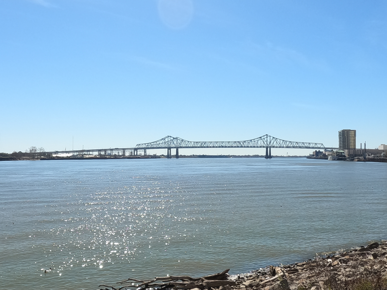
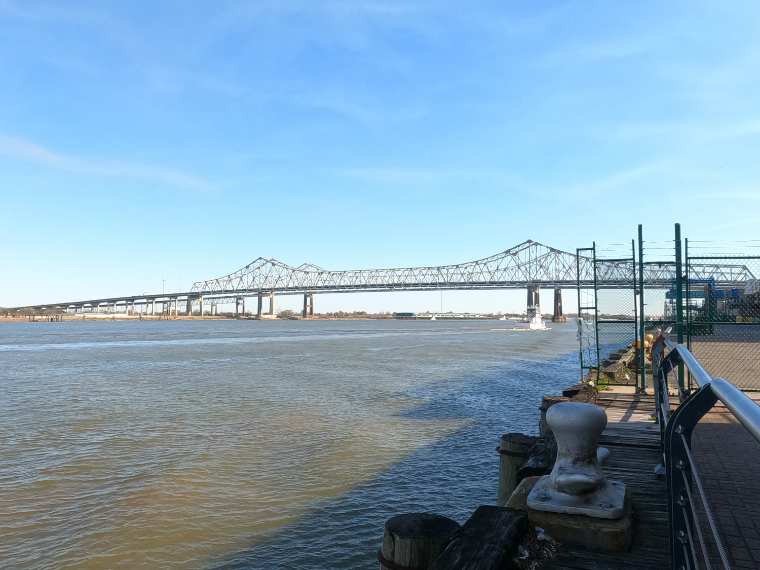
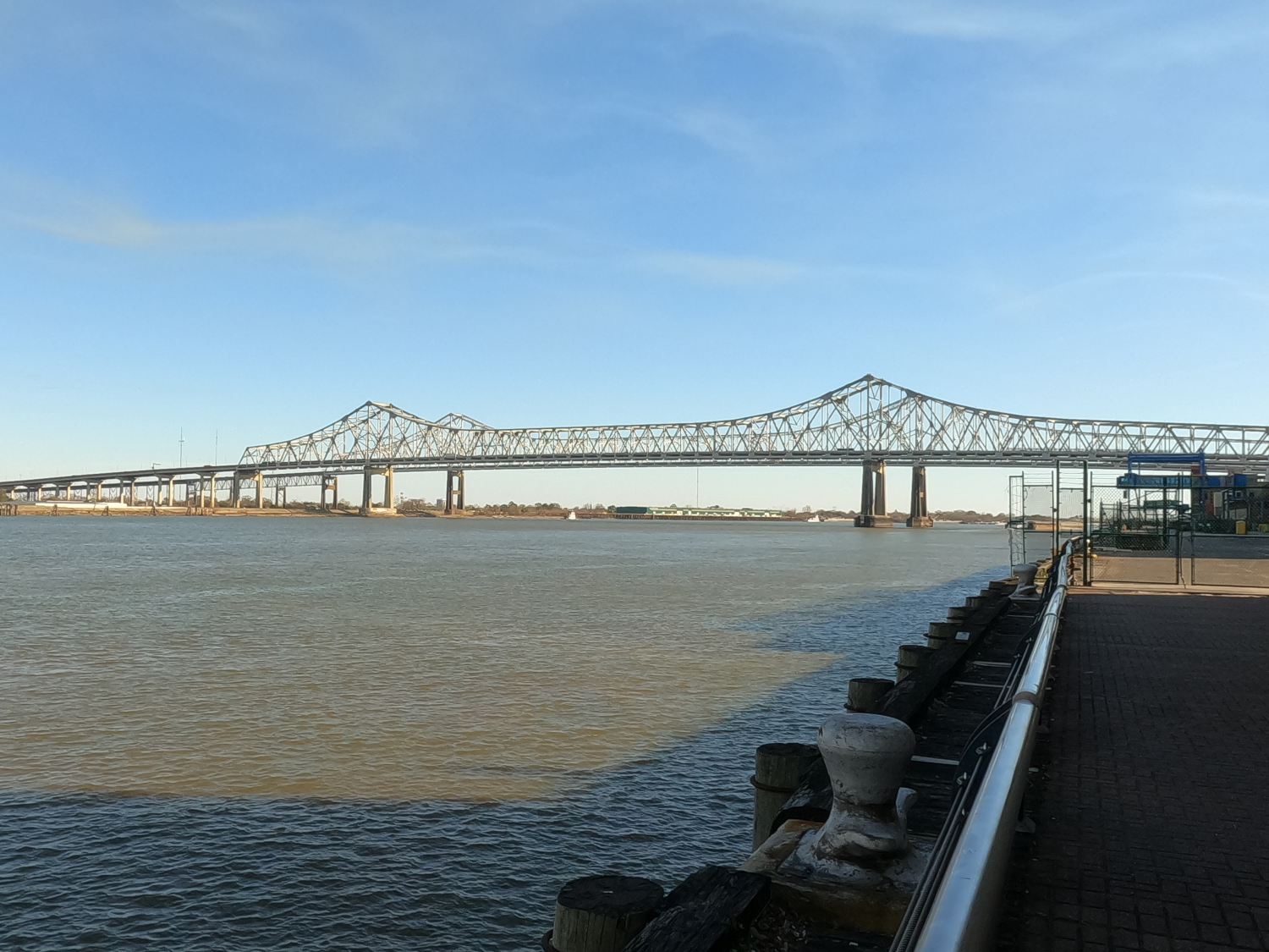
The Crescent City Connect Bridge, also called the Greater New Orleans Bridge, is a pair of truss bridges across the Mississippi River. It is the further downstream bridge on the lower Mississippi and is also the most heavily traveled. The bridges are both cantilevered warren trusses and are tied as the fifth-longest cantilever bridges in the world.
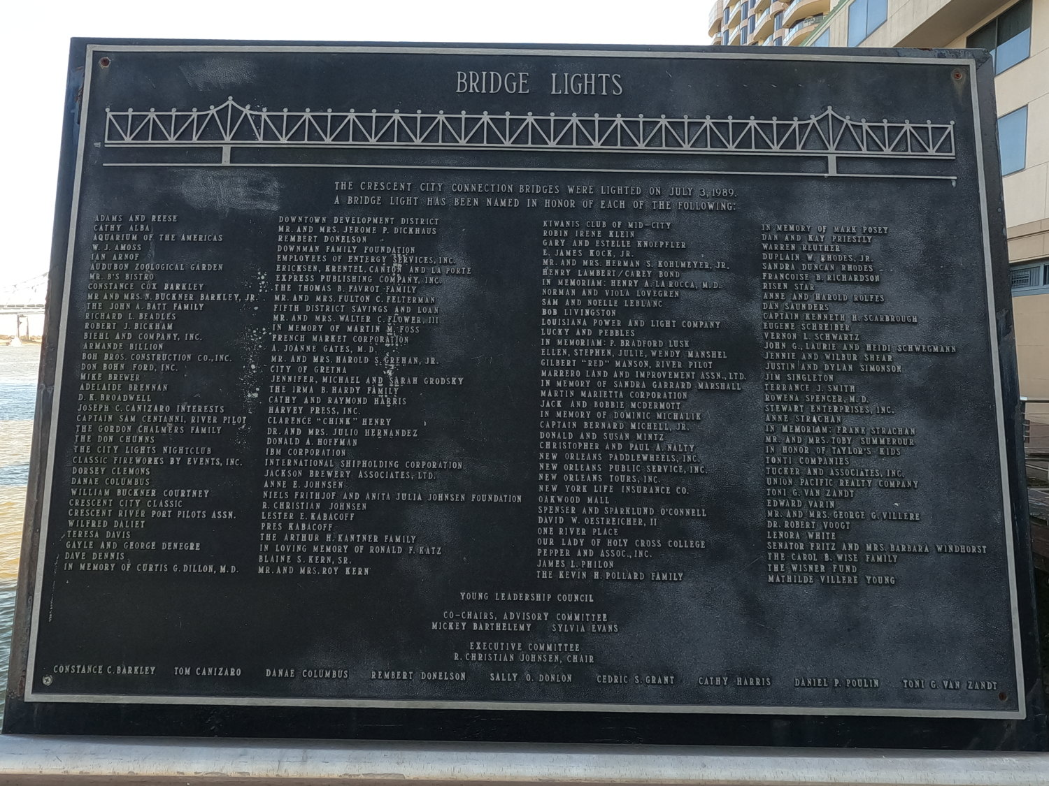
The first bridge was named the Greater New Orleans Bridge. The second bridge was initially named the Greater New Orleans Bridge #2 before the Louisiana DOT held a contest to name the bridge. In 1989, both bridges were officially named the Crescent City Connection Bridge, which refers to the crescent shaped curve in the Mississippi River as it flows past the heart of central New Orleans.
The bridge was first recommended as part of the 1946 Master Plan, and the Mississippi River Bridge Authority was created in 1952 to oversee the planning, construction, and operation of the new bridge. Construction began in 1954, and the bridge opened in April 1958, and it featured two lanes in each direction. When completed, it was among the largest steel cantilever truss bridges in the world and was an immediate success. It allowed for a wave of rapid development on the rivers Westbank, and by the 1970’s, the bridge was no longer able to handle the traffic volume. Although other locations were considered for a new bridge, it was ultimately decided that a parallel bridge would be constructed.
Construction started on the second bridge in 1981, with the aim of opening prior to the 1984 Louisiana World Exposition. However, this deadline was very ambitious, and the bridge didn’t open until September of 1988. During design, it was mandated that the piers of the new bridge line up with the existing piers so that the river navigation channel was not affected. However, this created potential interaction between the foundations, which could cause the bridges to tilt and settle in the soft clay soil. Therefore, the new bridge was built about 400 ft downstream to mitigate this. It was ultimately decided that a twin bridge would be the best design.
Upon completion of the new bridge, the old bridge was reconfigured to carry four lanes of Westbank-bound traffic. The new bridge carries four lanes of downtown-bound traffic as well as two reversible High-Occupancy Vehicle (HOV) lanes. (Note that due to the Mississippi River's winding course through the New Orleans area, the river is following north at this location, so using location-bound directions is less confusing). As traffic patterns changed, the HOV lanes have become outdated and far less useful, since they connect to downtown and not to Interstate 10. These lanes are largely wasted space and could be repurposed to make more efficient use of the valuable deck space that the lanes currently occupy. In March 2023, it was proposed to use these lanes for a bus rapid transit (BRT) corridor, but no formal plans have been made.
References