Chiselville Covered Bridge
(East Arlington Covered Bridge, High Bridge, Roaring Branch Bridge)
NBI Information
Location
State: Vermont
County: Bennington County
Feature Carried: Sunderland Hill Road (TR 02 FAS 171)
Feature Crossed: Roaring Branch
Latitude, Longitude: 43.0722,-73.1331
Toll: On free road
Maintenance Responsibility: Town or Township Highway Agency
Structure Open, Posted, or Closed to Traffic: Posted for load (may include other restrictions such as temporary bridges which are load posted)
History
Year Built: 1870
Historical Significance: Bridge is on the National Register of Historic Places.
Year Reconstructed: 1972
Picture Date: July 12, 2026
Geometry
Lanes on Structure: 1
Lanes under Structure: 0
Skew: 0 degrees
Number of Main Spans: 2
Main Structure Type: Stringer/Multi-beam or Girder
Main Structure Material: Steel Continuous
Number of Approach Spans: None
Approach Structure Type: None
Approach Structure Material: None
Condition
Inspection Date: June 2024
Deck Condition: Good
Superstructure Condition: Fair
Substructure Condition: Satisfactory
Channel Condition: Very Good
Culvert: Not Applicable
NBI Year: 2025
Bridge Information
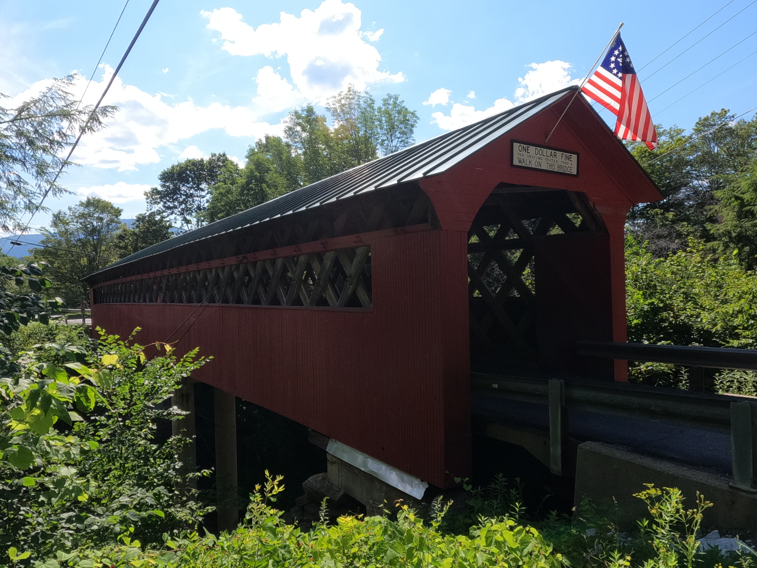
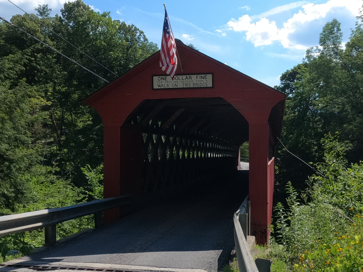
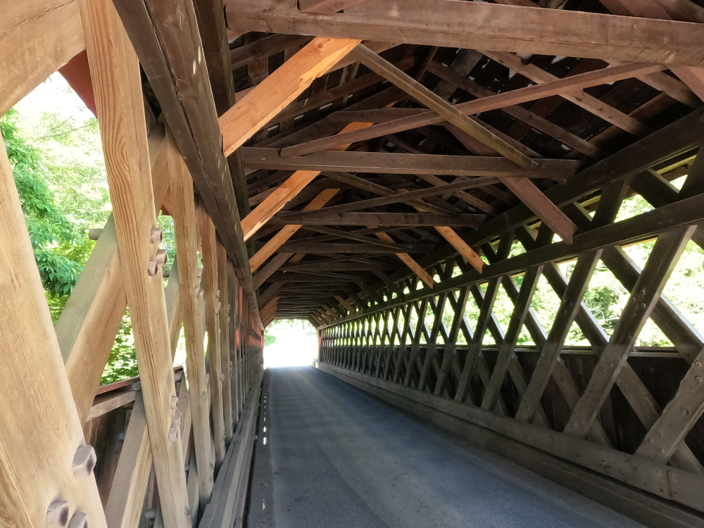
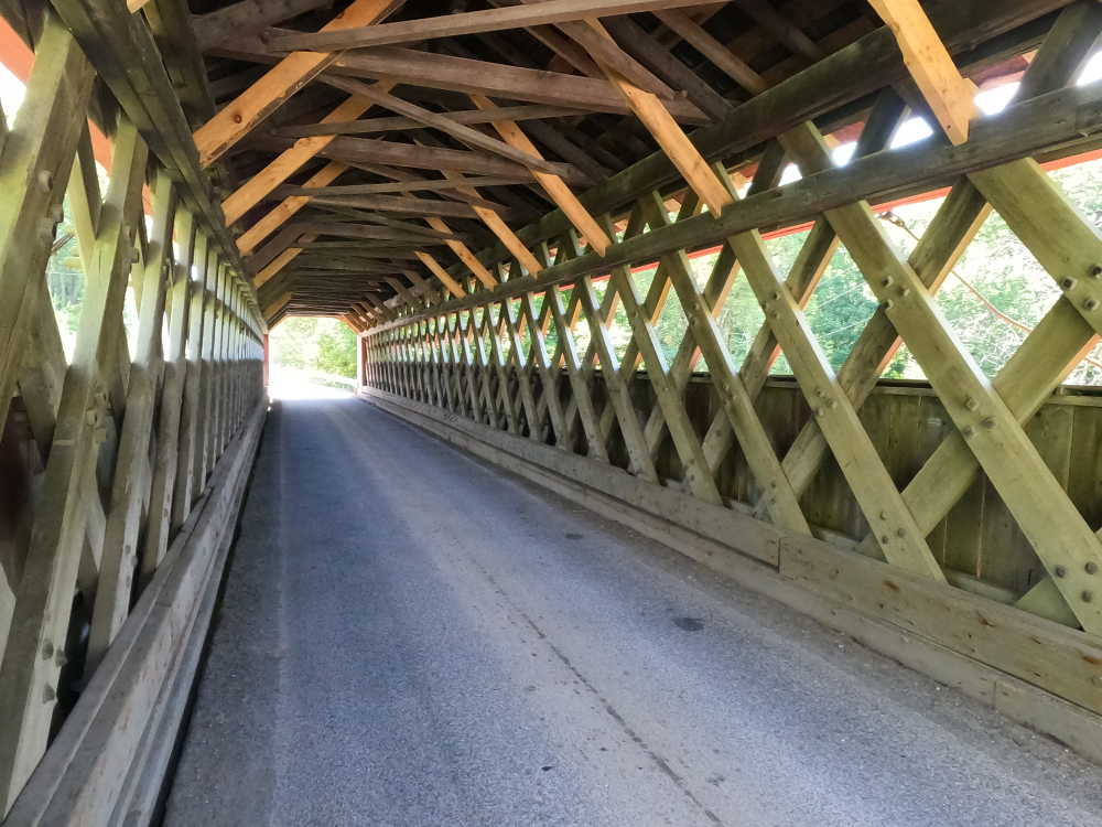
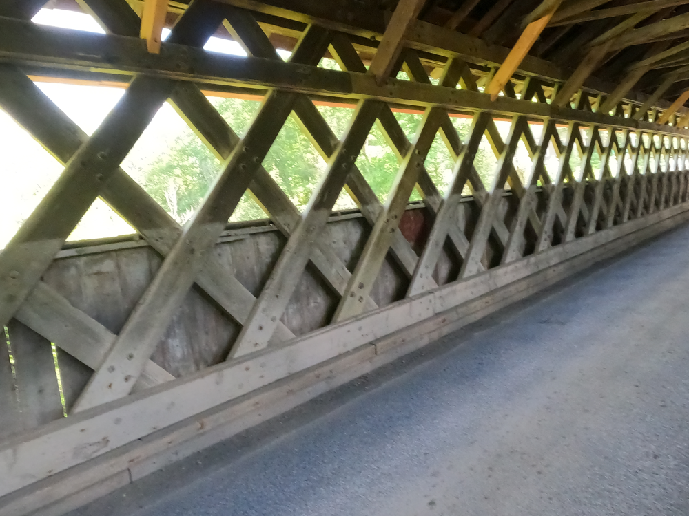
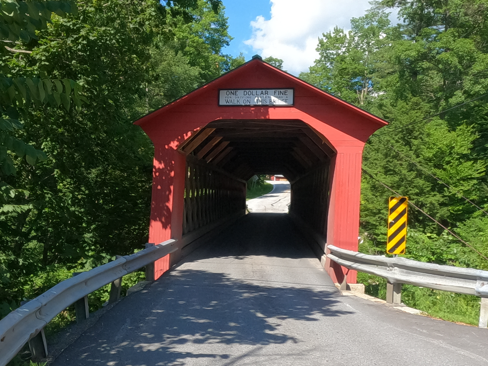
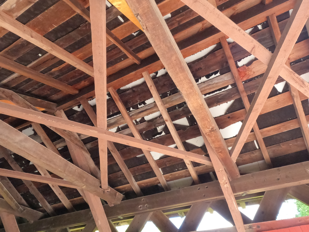
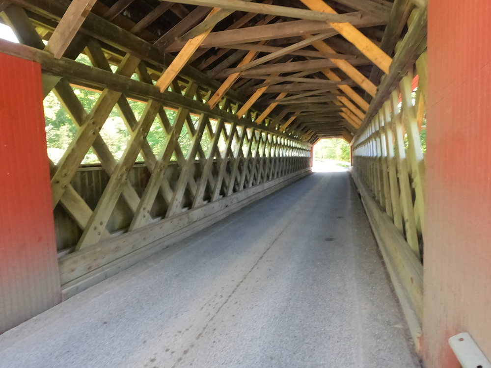
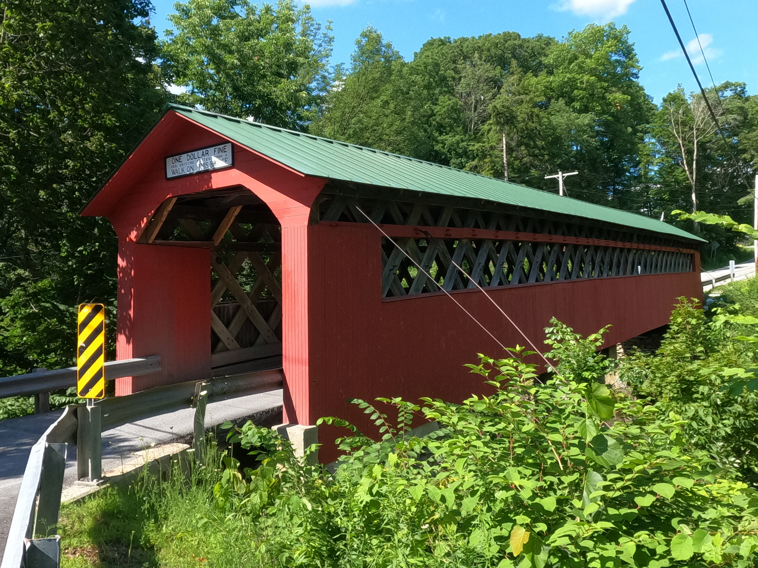
The Chiselville Covered Bridge is a lattice truss covered bridge spanning the Roaring Branch of the Batten Kill. It was built in 1870 and sits approximately 40 feet above the river, making it one of the highest covered bridges in the state. This bridge is also known as the East Arlington Covered Bridge, High Bridge and Roaring Branch Bridge.
There is a sign above each portal which reads "One dollar fine for driving faster than a walk on this bridge."
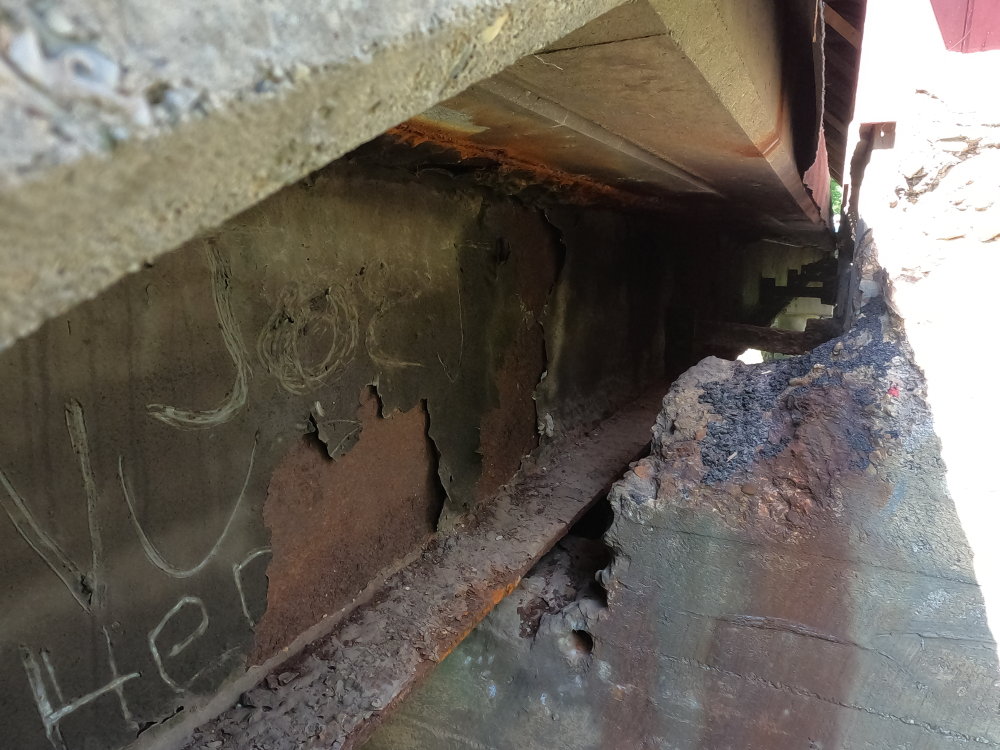
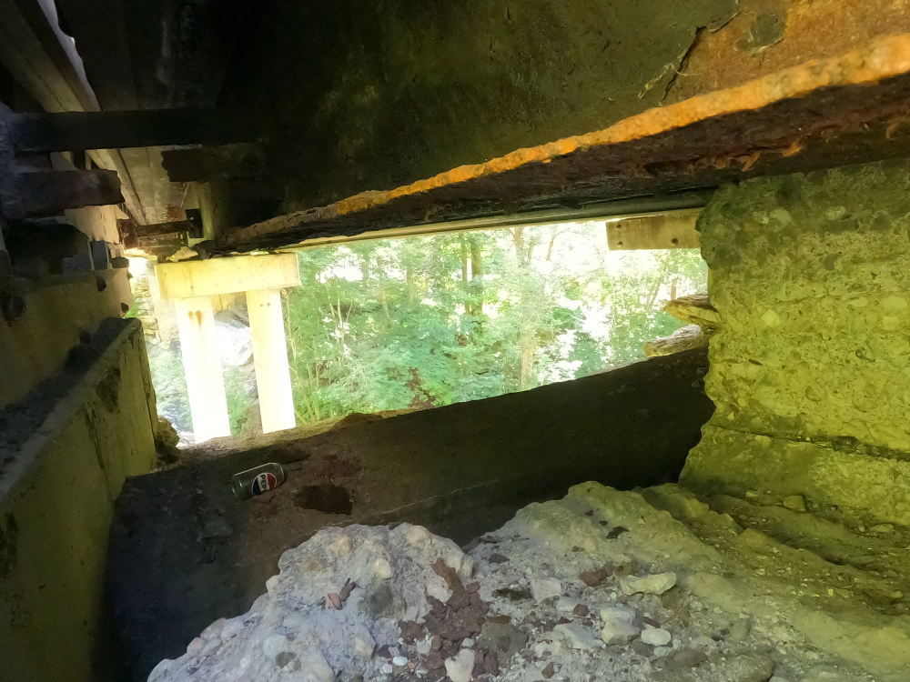
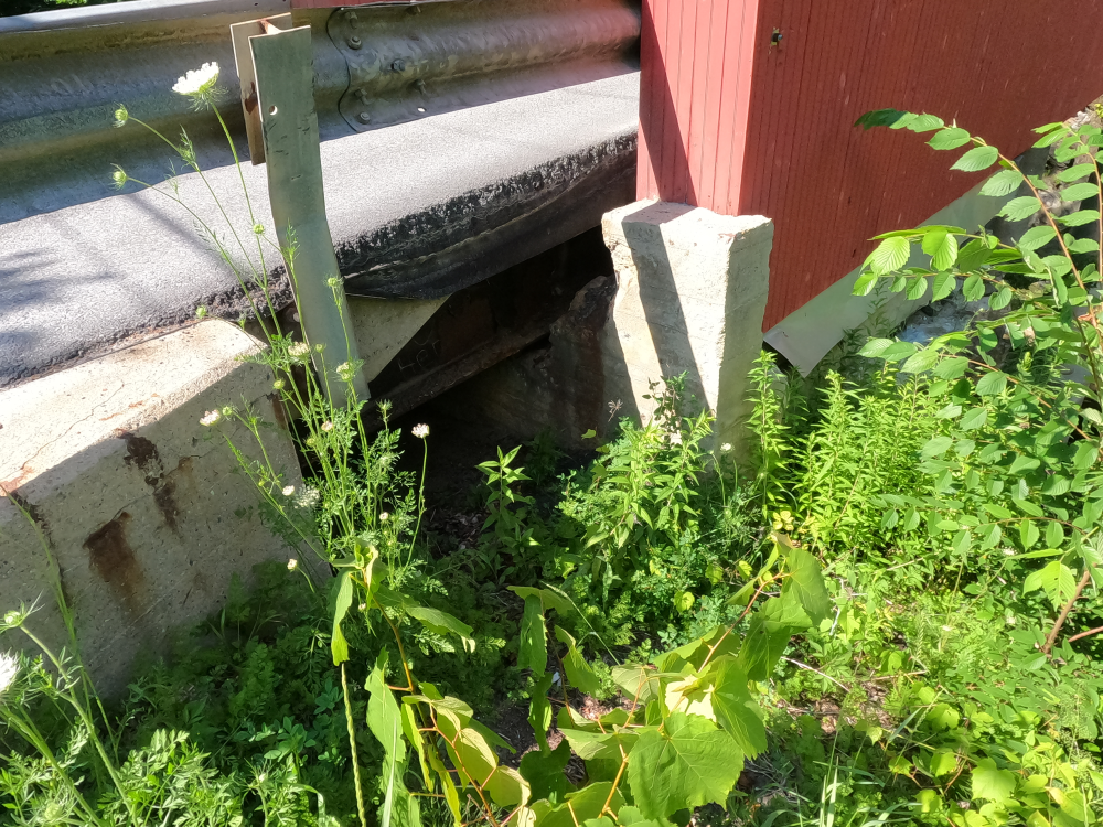
The bridge was damaged in 1971 when two overweight gravel trucks tried to cross the bridge at the same time. In 1973, supporting steel I-beams were added under the bridge. During this renovation, new abutments were placed behind the original abutments. Sections of the existing concrete were removed to allow the steel to pass through. A center pier was also constructed, changing the bridge to a two span bridge.
References
“Chiselville Covered Bridge - Sunderland, Vermont.” Gribble Nation, 4 Feb. 2022, http://www.gribblenation.org/2022/02/chiselville-covered-bridge-sunderland.html. Accessed 10 Sept. 2026.
Nelson, Joseph. “Chiselville Covered Bridge.” Vermont Covered Bridge Society, https://www.vermontbridges.org/bennington_county_combined_chiselville-wcg-phase1.shtml. Accessed 10 Sept. 2026.
Caswell, Bill. “Chiselville or High or Roaring Branch, Bennington County.” Covered Spans of Yesteryear, https://www.lostbridges.org/details.aspx?id=VT/45-02-05&loc=n. Accessed 10 Sept. 2026.