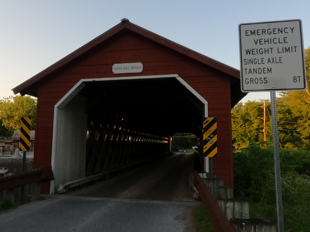
Paper Mill Covered Bridge
(Bennington Falls Covered Bridge)
NBI Information
Location
State: Vermont
County: Bennington County
Feature Carried: Murphy Road (C3019)
Feature Crossed: Walloomsac River
Latitude, Longitude: 42.9127,-73.2335
Toll: On free road
Maintenance Responsibility: Town or Township Highway Agency
Structure Open, Posted, or Closed to Traffic: Posted for load (may include other restrictions such as temporary bridges which are load posted)
History
Year Built: 2000
Historical Significance: Bridge is not eligible for the National Register of Historic Places.
Year Reconstructed: None
Picture Date: July 4, 2025
Geometry
Lanes on Structure: 1
Lanes under Structure: 0
Skew: 0 degrees
Number of Main Spans: 1
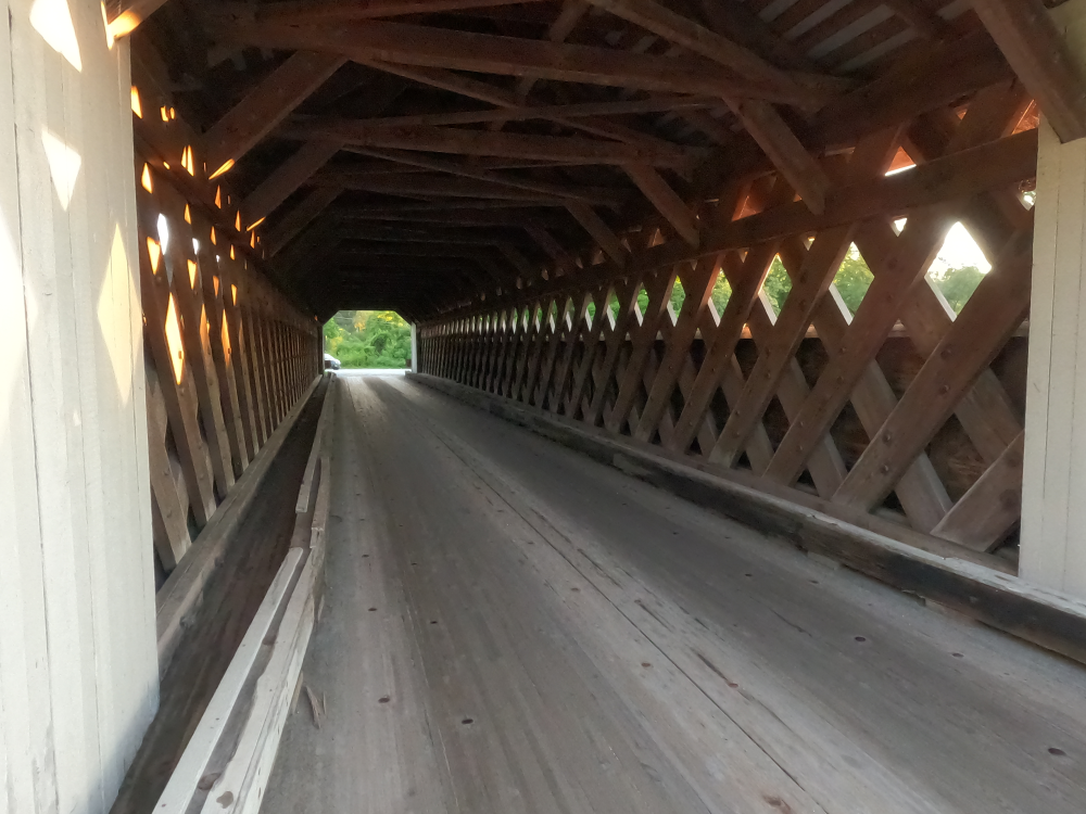
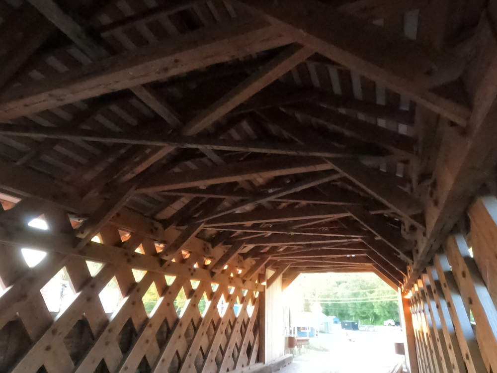
Main Structure Type: Truss - Thru
Main Structure Material: Wood or Timber
Number of Approach Spans: None
Approach Structure Type: None
Approach Structure Material: None
Condition
Inspection Date: October 2023
Deck Condition: Very Good
Superstructure Condition: Very Good
Substructure Condition: Satisfactory
Channel Condition: Very Good
Culvert: Not Applicable
NBI Year: 2024
Bridge Information
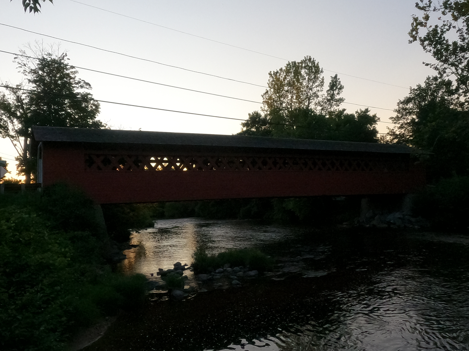
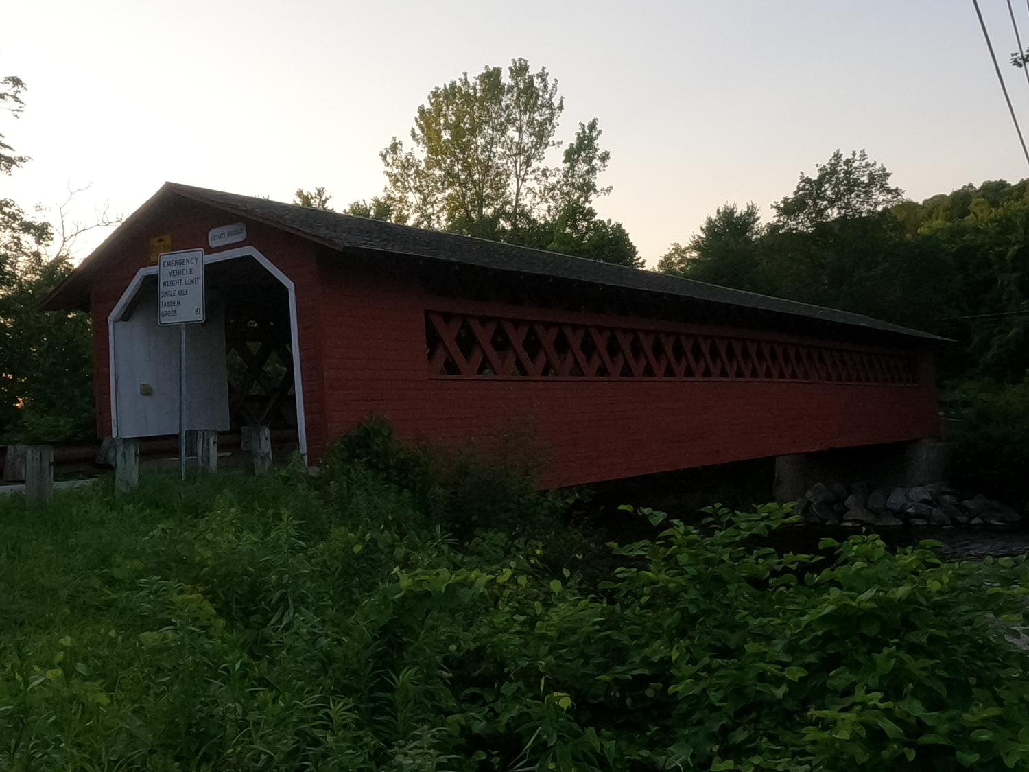
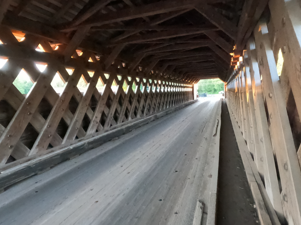
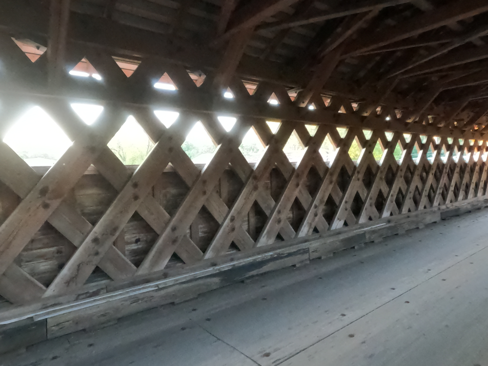
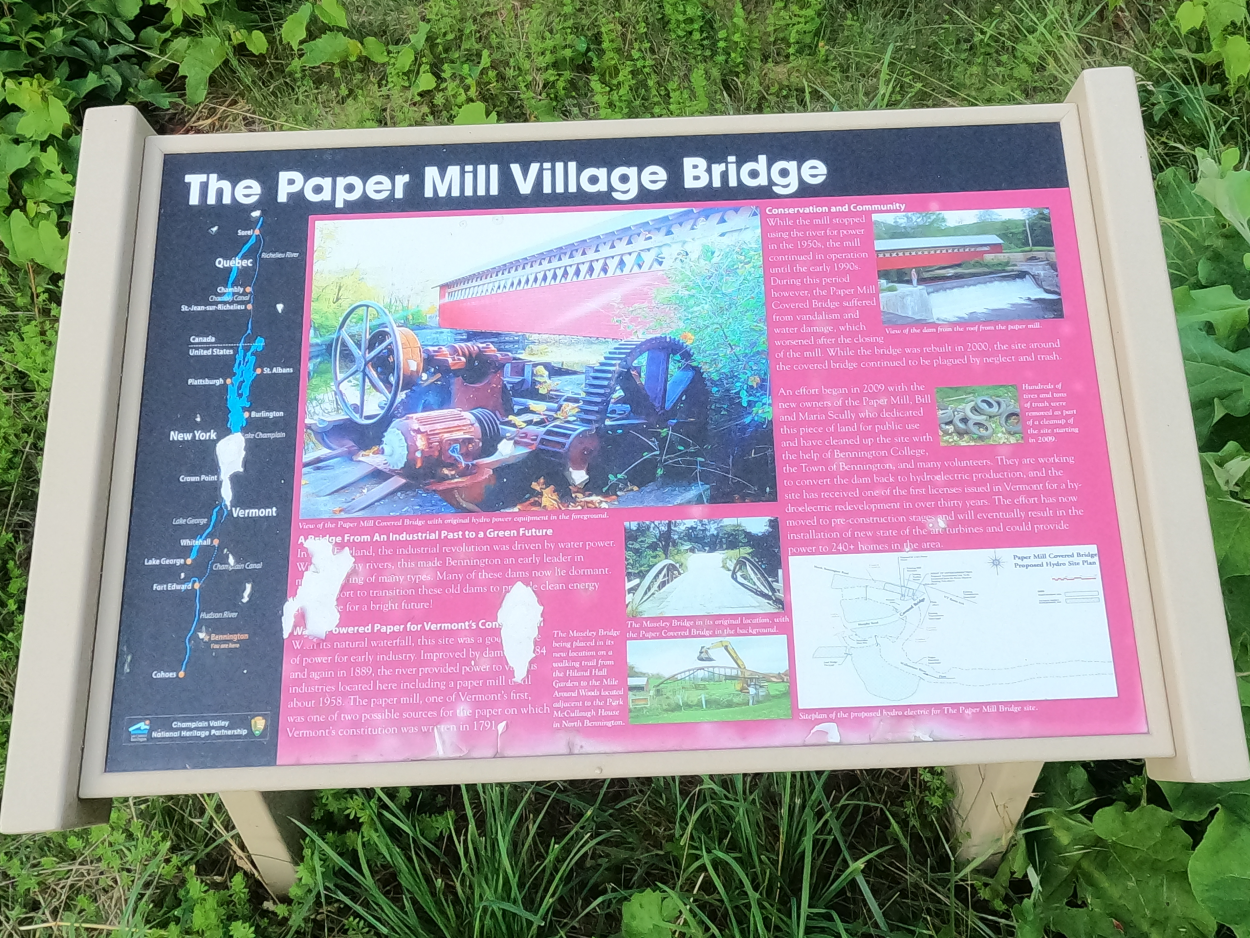
The Paper Mill Covered Bridge (also called the Bennington Falls Covered Bridge) is a Town lattice truss that was built in 1889. This was a common design at that time and there are numerous similar bridges throughout the area, but this one is the longest covered bridge in Bennington County. The sides of these bridges were clad in vertical boards, as were the insides of the portals. The bridge rests on stone abutments, which have been partially faced in concrete.
In 1952, many of the planks in the trusses were doubled for reinforcement, and additional floorbeams were added to the structure. Unfortunately, the bridge was not maintained, and it was closed to vehicles in the 1980’s when it was bypassed with a single lane temporary bridge. The bridge continued to be used by pedestrians and cyclist until an inspection in 1994 found that it was critically deteriorated and on the verge of collapse. The bridge was closed to all traffic.
Due to the deterioration of the bridge, rehabilitation was not practical. Instead, the bridge was rebuilt from 1998 to 2000. The original structure was removed, and it was replaced with a replica. This project was done very diligently in order to maintain the historical designation, and historic construction methods and materials were used.
References