Pine Brook Covered Bridge
(Wilder Covered Bridge)
NBI Information
Location
State: Vermont
County: Washington County
Feature Carried: N Road (C2003)
Feature Crossed: Pine Brook
Latitude, Longitude: 44.2057,-72.7921
Toll: On free road
Maintenance Responsibility: Town or Township Highway Agency
Structure Open, Posted, or Closed to Traffic: Posted for load (may include other restrictions such as temporary bridges which are load posted)
History
Year Built: 1872
Historical Significance: Bridge is on the National Register of Historic Places.
Year Reconstructed: 1977
Picture Date: July 12, 2026
Geometry
Lanes on Structure: 1
Lanes under Structure: 0
Skew: 0 degrees
Number of Main Spans: 1
Main Structure Type: Girder and Floorbeam System
Main Structure Material: Steel
Number of Approach Spans: None
Approach Structure Type: None
Approach Structure Material: None
Condition
Inspection Date: July 2024
Deck Condition: Satisfactory
Superstructure Condition: Satisfactory
Substructure Condition: Fair
Channel Condition: Satisfactory
Culvert: Not Applicable
NBI Year: 2025
Bridge Information
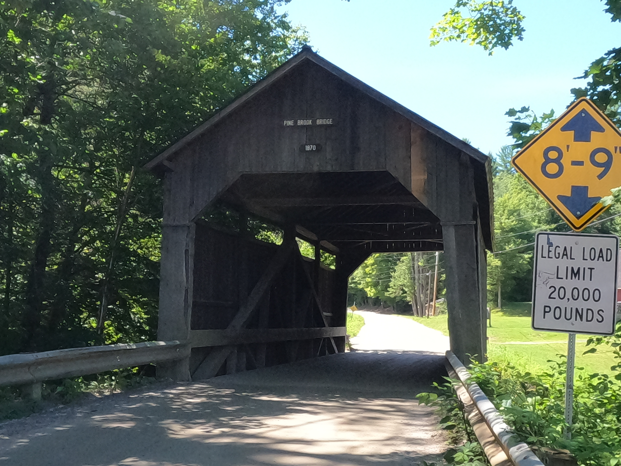
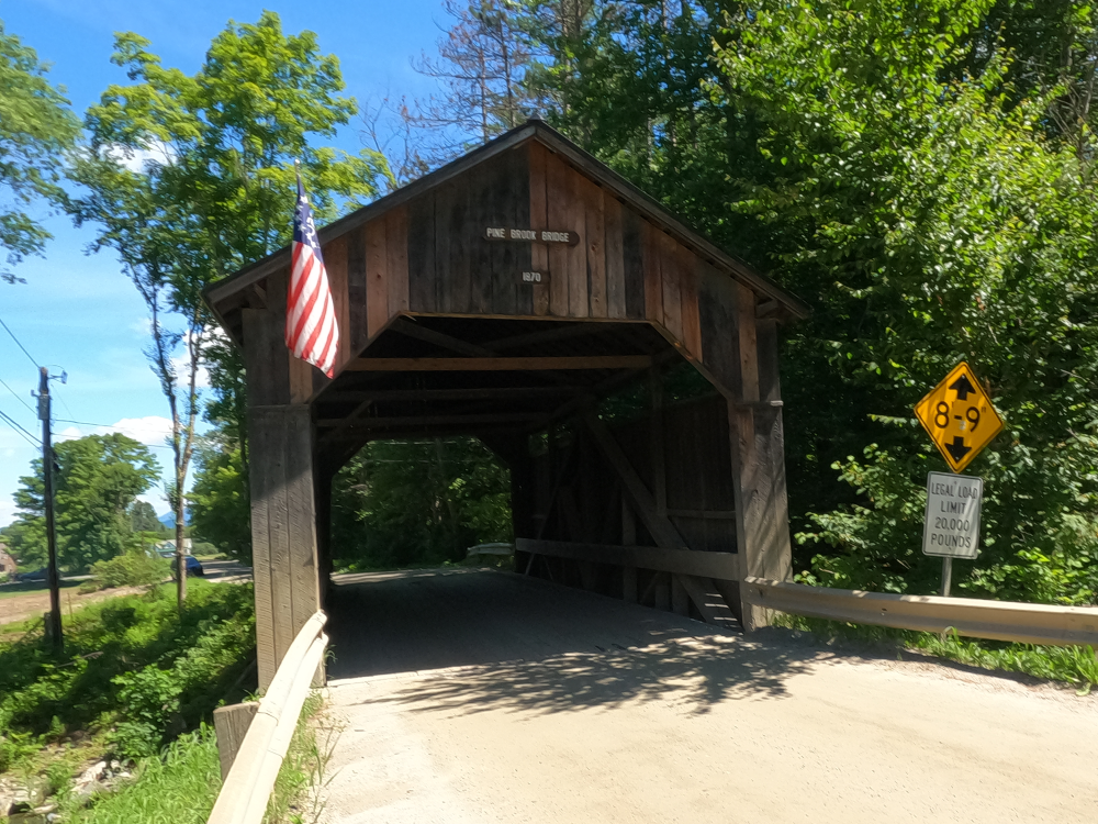
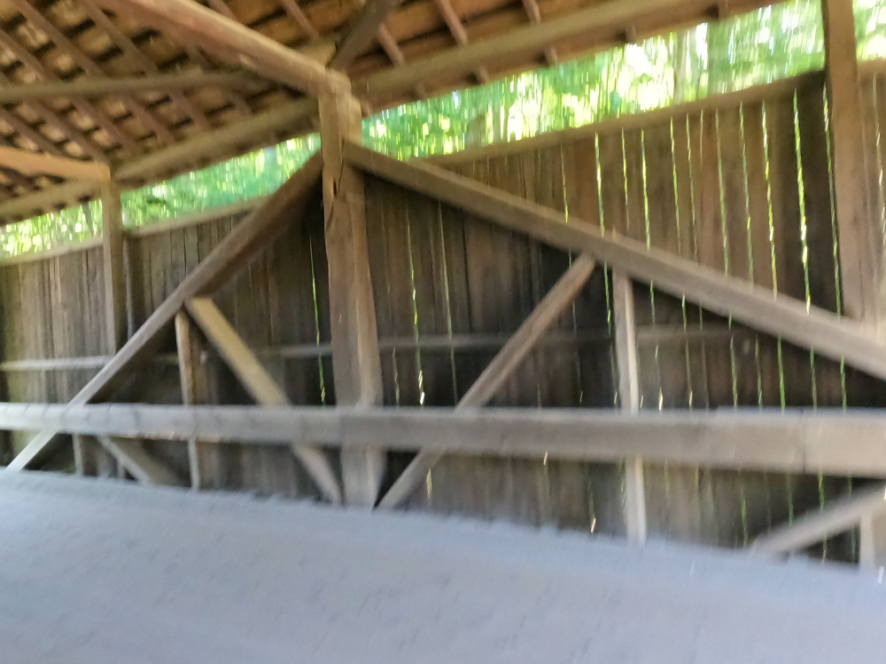
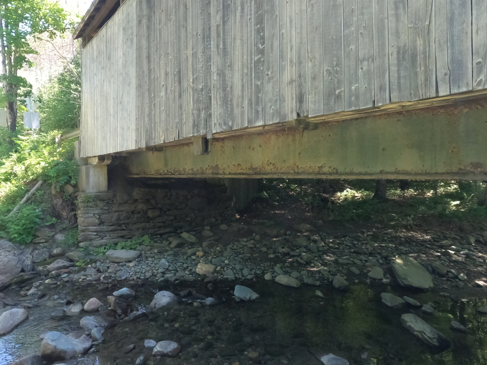
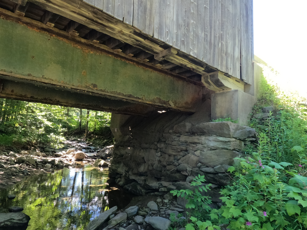
The Pine Brook Covered Bridge, also known as the Wilder Covered Bridge, was built in 1872. This bridge is one of only two king post truss bridges remaining in the state (the other is the Stony Brook Covered Bridge). The bridge is clad in vertical board siding with a metal roof. The bridge rests on irregular dry laid stone abutments faced in concrete.
The bridge was rehabilitated in 1976, when steel I-beams were added below the deck. The deck was replaced in 1989.
References
Cahal, Sherman. “Pine Brook Covered Bridge.” Bridges and Tunnels, https://bridgestunnels.com/location/purple-people-bridge/. Accessed 22 Sept. 2026.
Henry, Hugh. “Vermont SP Pine Brook Covered Bridge.” National Archives Catalog, 12 June 1974, https://catalog.archives.gov/id/84285765. Accessed 22 Sept. 2026.